
Tropical Storm Warning Puerto Rico Virgin Islands Karen Nears Jerry Nears Bermuda
Tropical Storm Karen is holding on to minimal tropical storm status with winds of 40 mph. The big issue from Karen will be the heavy rains that it will produce on the order of 2 to 4 inches with isolated amounts of 8 inches. Karen is located about 65 miles south southeast of San Juan Puerto Rico and about the same distance south southwest of St Croix in the Virgin Islands. It is moving northward at about 10 mph.
KAREN SATELLITE

The latest satellite shows a large area of thunderstorms however the broad circulation lies on the north side of the convection so as the center of Karen approaches there isn’t much in the way of rain and wind but south of the winter the latest recon in the storm is finding winds of 40 to 45 knots with some higher gusts. Winds might get nudged up a little on the next advisory.
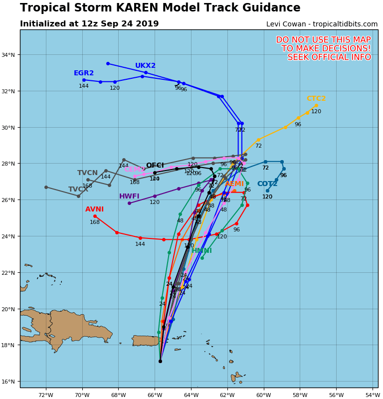
The future of Karen is highly uncertain. Hurricane track models take Karen northward before looping it around and back to the southwest or west late in the forecast period (next week). This may hinge on Tropical Storm Jerry which on the latest satellite picture is looking less tropical than it has been over the last few days. Mid level dry air is getting entrained into the circulation which is very obvious on the satellite picture. Convection is limited in Jerry and top winds are currently at 60 mph.
JERRY SATELLITE

Tropical Storm Warnings are posted for Bermuda with wind and rain forecast for Wednesday as Jerry turns to the east and the center passes close to the island. The future track of Jerry is for an eastward motion and a slow weakening. There are some models that suggest Jerry may absorb Karen and then begin a move back to the west or southwest but this is among so many possibilities here with the traffic jam of systems over the tropical Atlantic.
LORENZO SATELLITE

Then we have Tropical Storm Lorenzo which is way out east in the tropical Atlantic well to the southwest of the Cabo Verde Islands and moving westward. Lorenzo continues to get better organized under highly favorable conditions for strengthening. Top winds are 65 mph and Lorenzo should become a hurricane later today or tonight.
Wide Atlantic Satellite

The wide satellite view shows all three storms and also highlights the large side of Lorenzo and its powerful circulation that extends deep into the tropics. Lorenzo will likely become a large major hurricane. Notice the clouds to the west of Lorenzo lying north south. This is indicating a weakness in the upper high in the Atlantic and Lorenzo should turn into that remaining an Atlantic ocean storm during its life cycle.
MANY THANKS TO TROPICAL TIDBITS FOR THE USE OF MAPS
Please note that with regards to any tropical storms or hurricanes, should a storm be threatening, please consult your local National Weather Service office or your local government officials about what action you should be taking to protect life and property.