
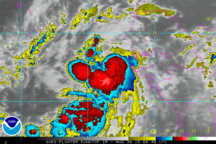
 This is a close up shot of the season’s sixth tropical storm that has formed this morning just off the African coast and that is Tropical Storm Fred. Top winds are 40 mph and this is located very very very far away from us. In face it has formed east of the Cape Verde Islands which doesn’t happen too often.
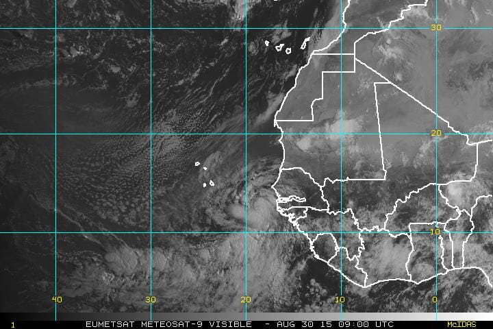 The visible satellite picture is wider and you can see it has a very well defined circulation as works its way northwestward. Fred could become a hurricane before it gets to the Cape Verde Islands and watches are posted there. Now before we being another frenzy of worry for something thousands of miles away let me make 2 observations. The first is that storms that are moving northwest at this stage of the game wind up never getting west of 50 west at best. Secondly and this is more important. The upper air pattern that sheared apart Hurricane Danny and Tropical Storm Erika is still there as the Central Atlantic has to 2 powerful upper lows driving strong upper level winds which means that the shearing is still there. Unless that changes you have to consider the strong possibility that this could be another tropical storm that doesn’t survive in the longer term.
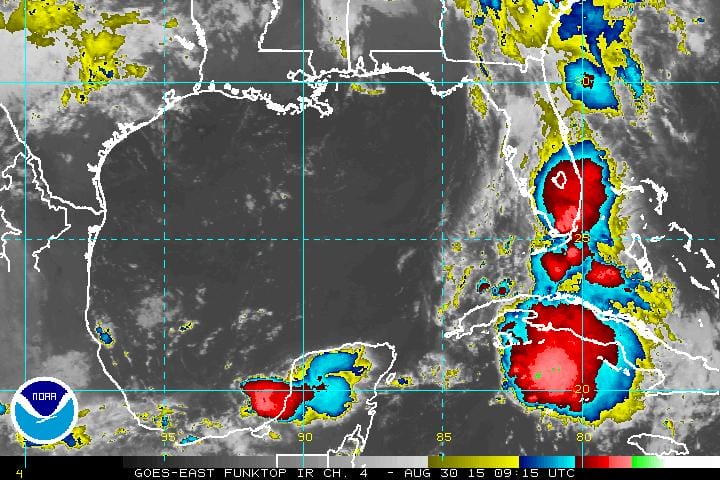
Now with regards to the remnants of Tropical Storm Erika, they are producing rains today from South Florida southward into the Florida Straits and the Northwest Caribbean. Now regeneration is always possible however there is a strong upper low in the Central Gulf states that is producing strong south winds aloft in the Eastern Gulf of Mexico which is creating an unfavorable environment for redevelopment. It is my experience that tropical storms once sheared apart usually don’t come back unless conditions are very favorable and they simply aren’t.