
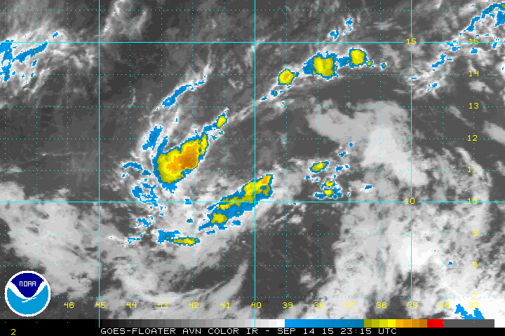
Latest satellite pictures of disturbance southwest of the Cape Verde Islands has only a minimal amount of thunderstorm activity with it as dry air has drwan into the area. This has been a problem all throughout the tropical season along with the strong wind shear. While conditions are somewhat favorable for development this system soon will be moving into an area of high wind shear so if it doesn’t develop in the 36 hours or it will probably not survive as it heads northwestward over time.
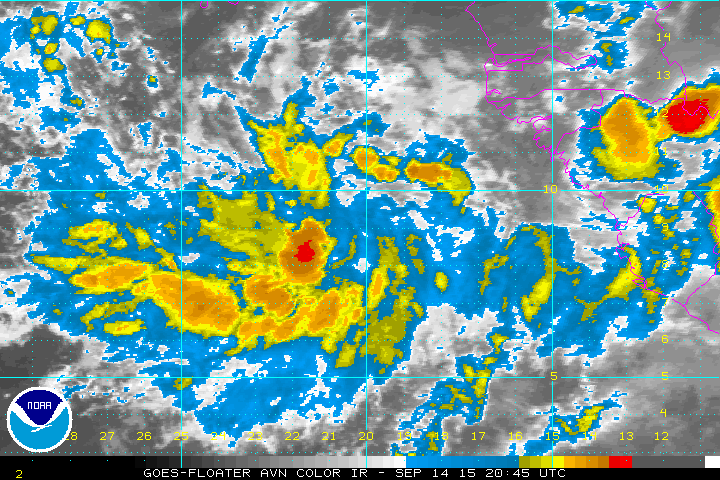
There is a second system right behind it moving off the African coast that is well organized at the moment. This system will have favorable conditions to develop over the next few days however it will in time run into the same issues as the lead system is. Dry air and shearing are everywhere so it seems that even if this does develop into a tropical depression or tropical storm it will also have a relatively short life.
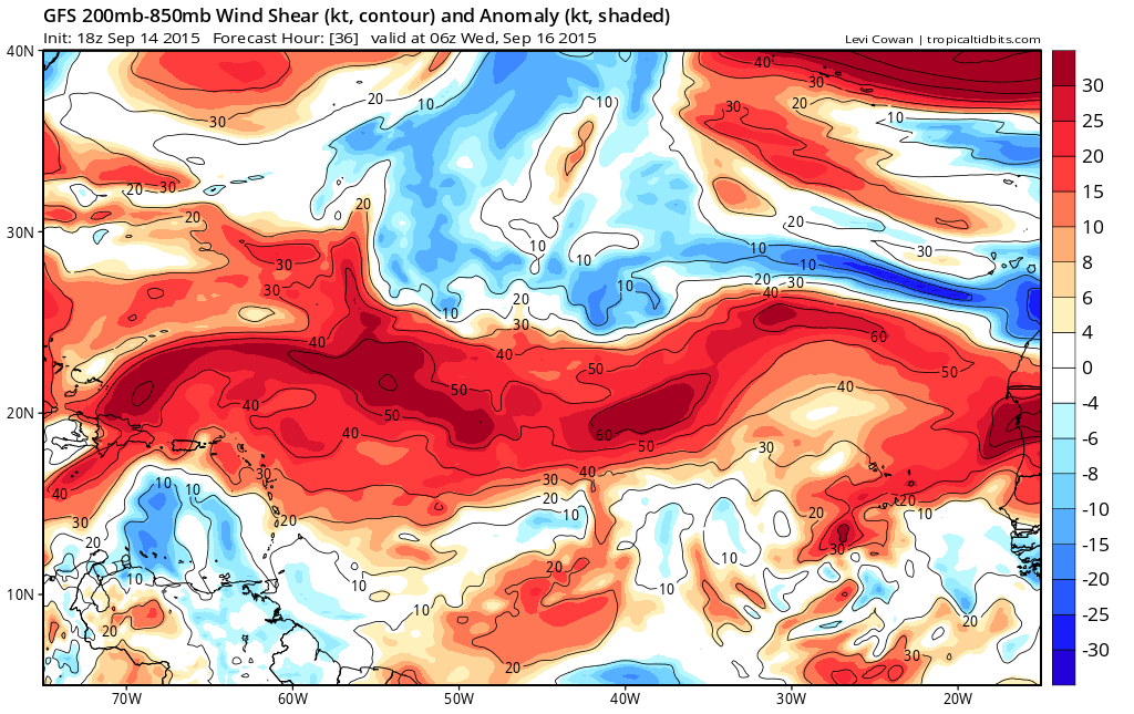
 The shearing pattern is everywhere and the Gulf of Mexico is completely covered with strong wind shear. There is disturbed weather off the coast of Mexico in the Western Gulf but it has no chance given the strong wind shear that covers the entire area.
JOESTRADAMUS yesterday discussed the silliness of long range models forming 2 hurricanes in the Atlantic. In a season where no tropical storms have been able to survive the track across the Atlantic it seemed ridiculous to show 2 hurricanes. It seems to me that we may have to wait until October when development normally shifts back westward out of the tropical Atlantic. But the shearing pattern needs to change completely from what it is now. It has been like this all summer long and it seems to me that a wholesale change in the Atlantic shearing pattern will be a pretty tall order.
Be sure to download my weather app and subscribe to my forecasts. The app is free and forecasts are just 99 cents a month…advertiser free and no security issues.