
The weather system in the central tropical atlantic has become better organized overnight and it looks like a tropical depression may be forming here judging but the loop which shows some circulation developing. This system has a little time where it is in a favorable environment to strengthen however it is moving north northwestward and if you look north of where the system is you can see cloud are blowing from west to east around a strong upper low in the central Atlantic. As it gets further north it will likely encounter strong wind shear and hostile conditions so future development may be limited. Right behind it is another system and it is now on the screen and you can see what appears to be a circulation there as well. That system is in a favorable environment and could develop into a tropical depression in the next 48 hours. Longer term however the same story..hostile conditions to the north..blah blah blah.

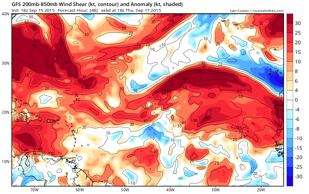
The disturbed weather in the Gulf of Mexico has diminished but that had no chance any due to strong wind shear. Nothing has changed regarding the wind shear pattern across the tropical Atlantic. Disturbed weather in the northeast Caribbean also has no chance to develop.
Some of the models continue to indicate that the tropical Atlantic systems will develop into tropical cyclones however the models have been doing this on and off for awhile so we don’t find those models reliable at all. The issue is that it has incorporated those cyclones in how it figures out the long range and this has led to all sorts of models swings.
I still believe that if anything is going to happen it will probably be more of the home grown variety.
Be sure to download my weather app and subscribe to my weather forecasts. The download is free and the subscription is just 99 cents a month. No advertisments and no security issues.