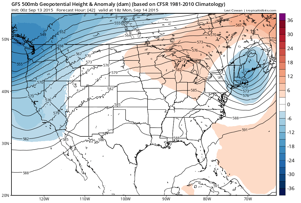
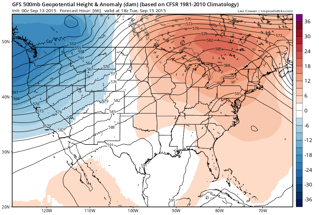
Looking at the weather maps for the week ahead it isn’t too often that we can put the forecast to bed for 5 days and go to sleep. Wake me up when the next cold front arrives but that is in fact the case. This week could turn out to be a beautiful week of weather from Monday through Friday. The pattern is pretty well locked into a ridge position in the east with no sign that it will move at all. That means no rain, sunshine and temperatures that gradually turn warmer as the week rolls on. Humidity may not really be an issue until late in the week as it it going to take time for any moisture even at low levels to return. The only issue at some point late this week might be some night time or early morning low clouds and that really is about it.
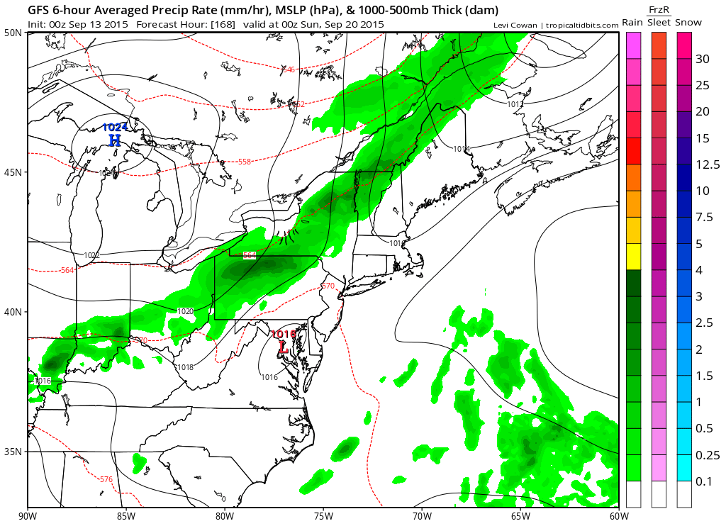
First off for today weather conditions will begin to slowly improve as the upper trough moves through. All the real energy with this will be to the north. Yesterday it looked like there might be some leftover downpours today and while that may still the case they should be few and far between.
Be sure to download my weather app and subscribe to my forecasts for just 99 cents a month. No ads and no security issues.