
Indian summer has been defined as the first string of above normal temperatures after the first killing frost. We will take this weekend’s record freeze (for some areas) and call the next 3 days Indian summer as temperatures will reach the 70s especially Wednesday and Thursday. We had temperatures averaging 15 to 20 degrees below normal this weekend and we will take it to about 15 degrees above normal to even it all out to zero.
Thursday we see a cold front that will be coming through which will bring temperatures down to near normal but the next cool shot will be nothing like what we just experienced. Friday and Saturday we will probably see temperatures a little below normal going into the weekend followed by another weak cold front on Sunday.
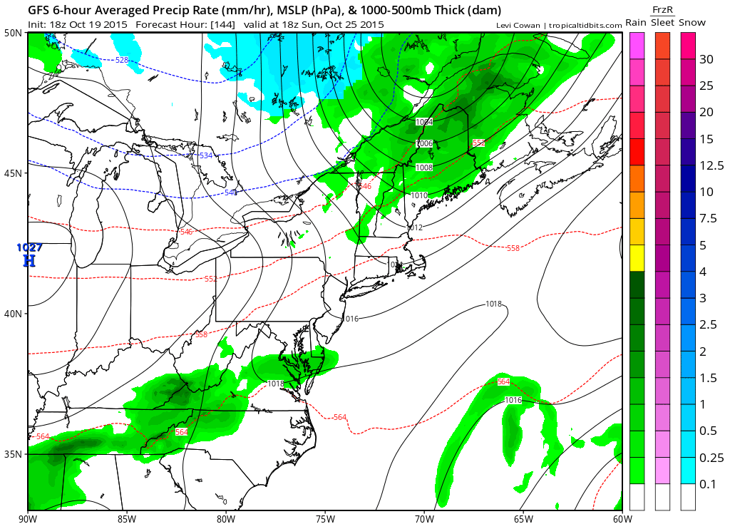
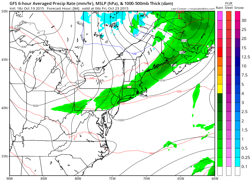
Both cold fronts coming through over the next 7 days don’t have much moisture to speak of so other than a shower much if not all of the next seven days will be rain free. Longer range the models have been in a state of flux but there was a bit of clarity today among the three major models that some sort of low may be developing and coming out of the Gulf States and as always there are differences in placement and strength. But at least they seem to be coming around to the idea that something other than a few showers may be in the cards during the last week of October. We can say that the cold shot we saw this past weekend will not be repeated anytime soon as the colder air from Canada will be cut off to some degree and the Pacific flow will be flooding Canada with warmer than normal air, at least for a little while. Either way we know the rest of this week the weather remains benign with warmth through Thursday and cooler but not overly cold afterwards.
Be sure to download my app and subscribe to my forecasts. The app is free and a subscription is just 99 cents a month.


