Sunshine Continues But Coastal Wave Brings Clouds Tonight & Wednesday
It is another day of sunshine across the Northeast and Northern Mid Atlantic states thanks to high pressure over New England. To the east on the satellite loops we see clouds from the old cold front that moved through Saturday night. For the dayside today we see no issues other than perhaps some clouds backing in from off the ocean later today. Skies otherwise should be no worse than partly sunny today with high temperatures mostly in the lower 70s. Radars remain quiet for today and into the first part of tonight.
SATELLITE WITH LIGHTNING STRIKES
WEATHER RADAR
A wave of low pressure is developing on this old frontal boundary and moving away to the northeast from the Carolinas Wednesday. While the bulk of the rain is offshore, the western edge of the rain shield might touch coastal areas during the day Wednesday. Even if that happens we are talking a rather minimal amount of rain.
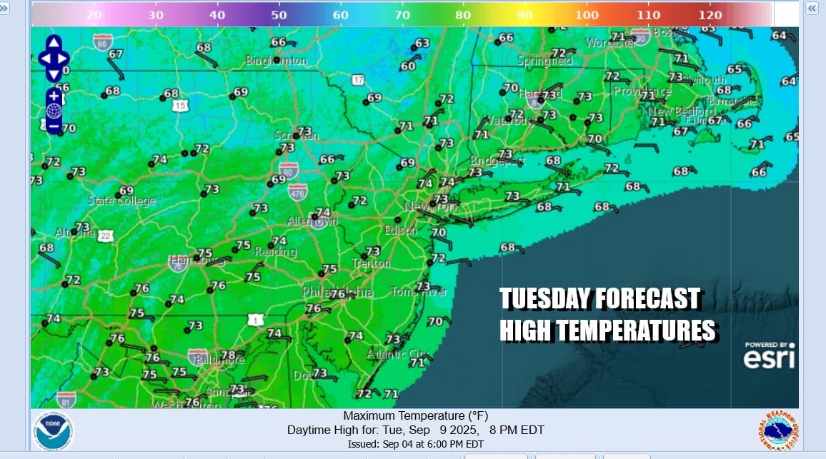
As a result of this wave, clouds will move in tonight from the east. Wednesday will be a cloudy day for the most part. Well inland areas might see some sun in the mix so this makes for a range in temperatures. Where it is overcast all day especially along the coast, temperatures will have a hard time getting out of the 60s while some places inland cloud break 70. Areas in Pennsylvania for example could reach the low and mid 70s.
Once the wave exits another high will be building into the Northeast and Mid Atlantic from Eastern Canada. This will bring sunshine back everywhere Thursday. It will be on the warmish side until the high gets established so temperatures Thursday will likely reach the upper 70 to around 80 degrees for highs in most locations. It will be a little cooler along the coast as an ocean wind develops.
Friday will be a mostly sunny day as the high pressure area settles in New England. Highs will be in the 70s though it may be at the lower end of 70s along the coast. We seem to have no issues over the weekend as another high pressure cell builds into Eastern Canada and New England. This should keep things nice and dry through the weekend and for the start of next week. Skies will be no worse than partly sunny over the weekend and temperatures by day will be in the 70s.
BE SURE TO DOWNLOAD THE FREE METEOROLOGIST JOE CIOFFI WEATHER APP &
ANGRY BEN’S FREE WEATHER APP “THE ANGRY WEATHERMAN!
MANY THANKS TO TROPICAL TIDBITS FOR THE USE OF MAPS
Please note that with regards to any severe weather, tropical storms, or hurricanes, should a storm be threatening, please consult your local National Weather Service office or your local government officials about what action you should be taking to protect life and property.