
Meteorological fall began yesterday. Those are the 3 months where temperatures decline at their fastest rates. Normals drop by 1 degree every three or four days until they bottom out in January. 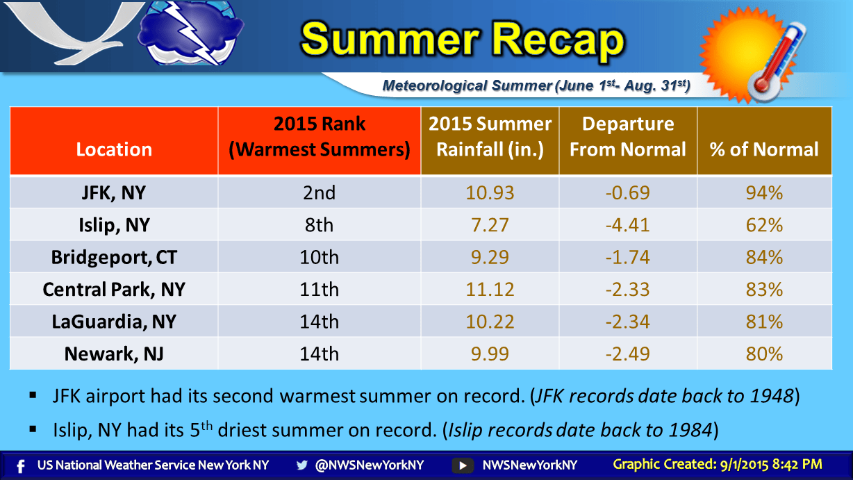 For JFK the summer was number 2 and for Islip it was number 8. It was achieved without a lot of days over 90. Notice also that the warmest 2 places this summer also had the largest rainfall deficit as a percentage of normal. The lack of cooling thunderstorms this summer played a big role in boosting numbers as the ground is baked and there was less cloud cover overall. It was a very interesting outcome. The other stations all finished in the top 20 warmest summers which really isn’t any big deal in my view given the size of the data base. Central Park was number 11 out of 146 summers being that they have the largest data set out there so that probably stands out a bit more.
Now what to expect. Through the middle of next week we will continue to see summer bove normal temperatures with a little cool down back toward normal at the end of the week and into the start of the holiday weekend. Then it looks hot again into the middle of next week before a more important patter change gets underway and the summer pattern finally begins to break down. The short range outlook is available here.
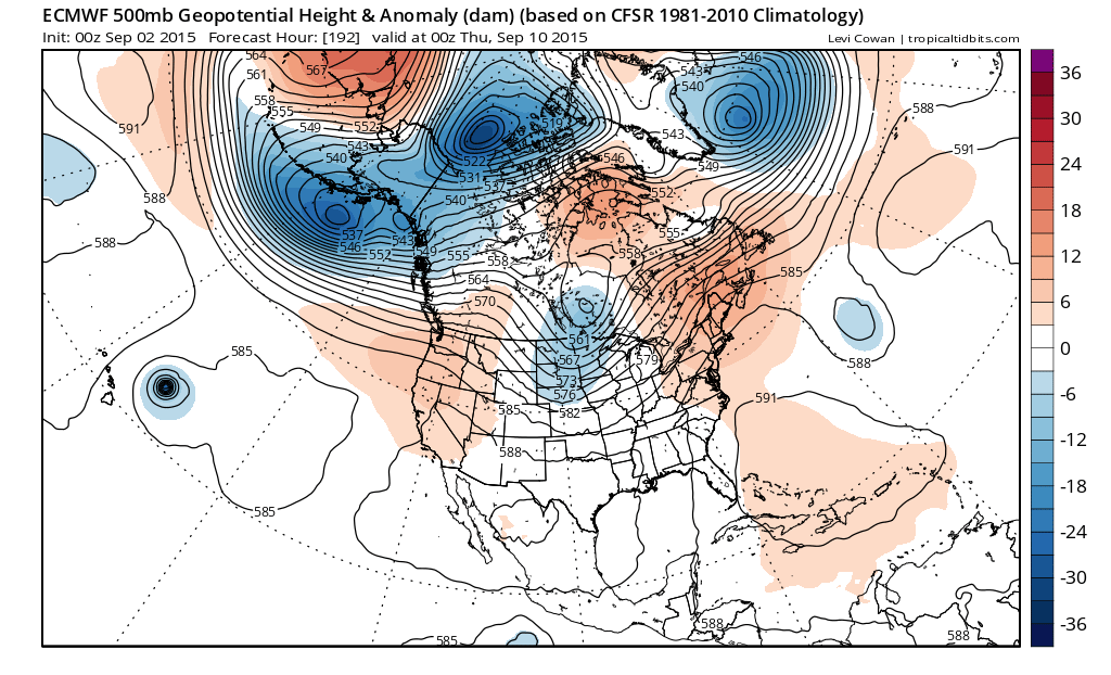
There are a few things going on that are important in the longer term. First off is a low in the central Atlantic east of 35N and 60W. Models were vigourously cutting this off and forming a strong gale center out in the ocean. This idea would force a strong ridge up along the east coast and hold it in place for awhile. Models have backed away from this idea overnight as they have it as a much less important feature. With a weaker ridge in the east it finally allows troughing to develop in the midwest and east.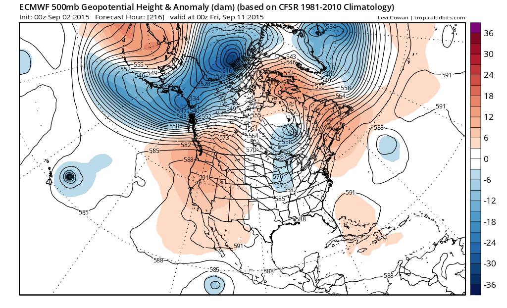
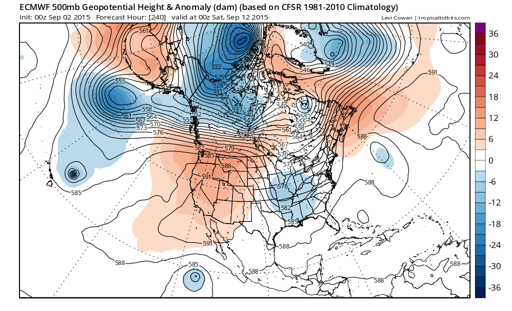 Also returning in the longer term is a ridge in the west as it begins to pump things up a bit and the European hints of something dropping into the Middle Mississippi Valley. It is like grasping at straws here trying to find something or perhaps anything that would suggest a break in the dry conditions. It is way to early to say whether this might mean for some rain at some point around mid month but this is really all we have to look at. We are certainly not going to see a widespread rain in the pattern we are in now so anything is better than this from the standpoint of much needed rain. At least this look would bring us a couple of chances for rain. Longer term the GFS would imply (beyond day 10) that the change is something that is going to hang around for awhile. Food for thought as we plod through the warm summery first week of September.


