Storm Threat Ending Nice Sunday Ahead

Storm Threat Ending Nice Sunday Ahead
Dry Start to New Week
That first round of showers and thunderstorms that passed over Central and Eastern Long Island and Connecticut did a great job of robbing the atmosphere of what little juice it had. We mentioned a few days ago and yesterday that the set up for severe weather just wasn’t all that impressive and that proved to be the case. Dry air overhead was just too much to overcome. Now we move on to Sunday which looks like a delightful day here with lots of sunshine and warm temperatures in the 80s along with low humidity. The satellite loop shows dry air moving across the Great Lakes and into the northeast.
Storm Threat Ending Nice Sunday Ahead
Satellite Loop

Storm Threat Ending Nice Sunday Ahead
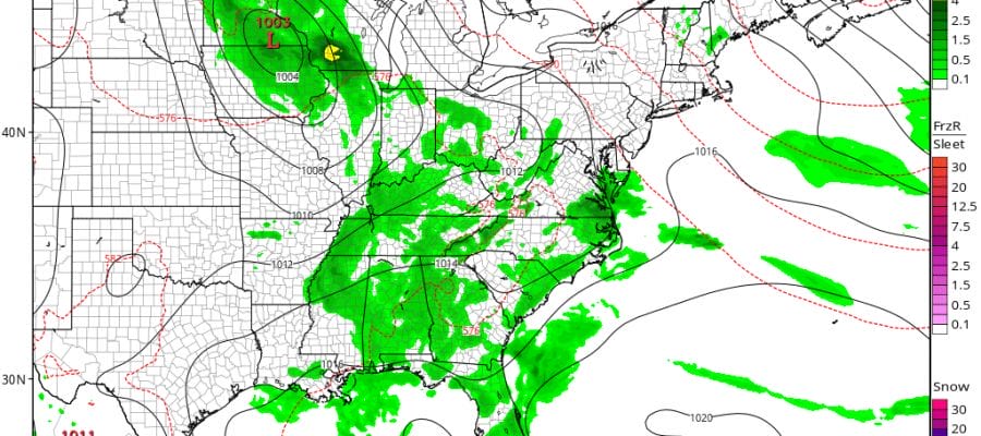
Radar Loops


Other than a passing shower this evening, skies will clear tonight with lows in the 60s. Sunshine for Sunday with highs in the low to mid 80s. Then cooler air arrives later Sunday night and Monday. An upper air disturbance moving through Monday morning could produce a few clouds but nothing more. Nothing worse than partly sunny skies Monday with highs in the low to mid 70s.
Storm Threat Ending Nice Sunday Ahead
GFS Forecast Wednesday
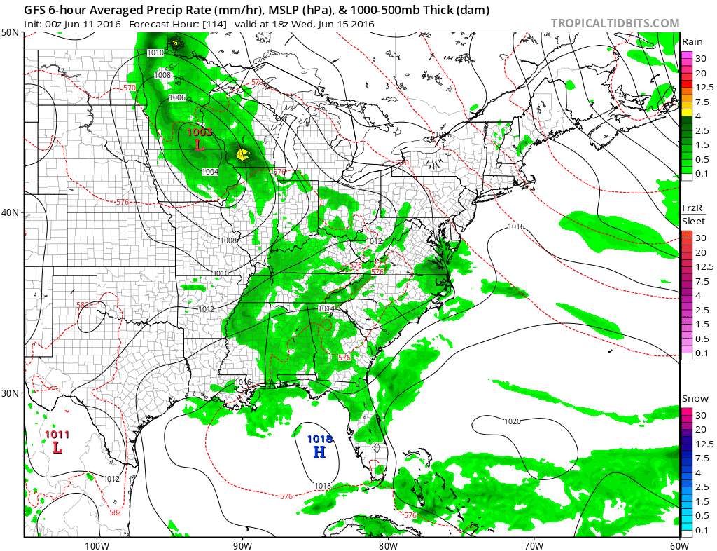
The biggest weather issue this week seems to be the moisture to the south and higher pressures to the north. It seems that we should be okay here through midweek at least. Nothing in today’s model runs suggests that southern moisture being able to come it here. This should mean some sunshine every day from Tuesday through Friday with highs in the 70s to near 80 and lows in the 60s.
JOESTRADAMUS HURRICANE SEASON GUEST FORECAST
FiOS1 News Weather Forecast For Long Island
FiOS1 News Weather Forecast For New Jersey
FiOS1 News Weather Forecast For Hudson Valley
NATIONAL WEATHER SERVICE SNOW FORECASTS
LATEST JOESTRADAMUS ON THE LONG RANGE
Weather App

Don’t be without Meteorologist Joe Cioffi’s weather app. It is really a meteorologist app because you get my forecasts and my analysis and not some automated computer generated forecast based on the GFS model. This is why your app forecast changes every 6 hours. It is model driven with no human input at all. It gives you an icon, a temperature and no insight whatsoever.
It is a complete weather app to suit your forecast needs. All the weather information you need is right on your phone. Android or I-phone, use it to keep track of all the latest weather information and forecasts. This weather app is also free of advertising so you don’t have to worry about security issues with your device. An accurate forecast and no worries that your device is being compromised.
Use it in conjunction with my website and my facebook and twitter and you have complete weather coverage of all the latest weather and the long range outlook. The website has been redone and upgraded. Its easy to use and everything is archived so you can see how well Joe does or doesn’t do when it comes to forecasts and outlooks.
Just click on the google play button or the apple store button on the sidebar for my app which is on My Weather Concierge. Download the app for free. Subscribe to my forecasts on an ad free environment for just 99 cents a month.
Get my forecasts in the palm of your hand for less than the cost of a cup of Joe!
![]()
![]()

MENTION JOE CIOFFI AND GET A 5% DISCOUNT


