Snow Risks Increase Next Week Weekend Showers Around

Weather in 5/Joe & Joe Weather Show Latest Podcast
Snow Risks Increase Next Week Weekend Showers Around
The evolution into a solid blocking pattern continues and 2 weather systems are ahead of it that will set the ball in motion. We had a nice day overall though some high clouds have come into the mix and they will be around tonight. Temperatures overnight will likely not venture far after reaching into the 50s today. Lows by morning will be in the upper 30s to mid 40s. Radars will be nice and quiet overnight.
SATELLITE

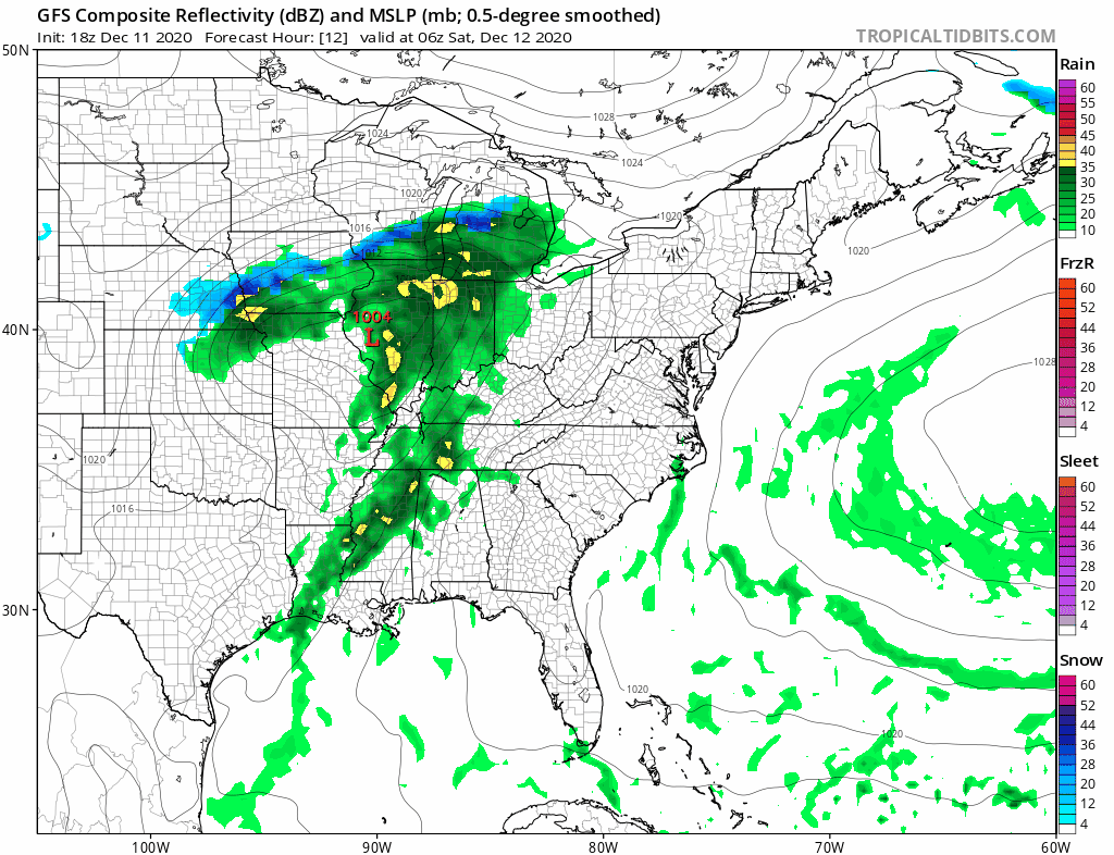
REGIONAL RADAR

Saturday will be a warmer day with highs in the 50s and even some lower 60 Southern New Jersey and Southern Pennsylvania southward while north and northeast of NYC it will be in the upper 40s and lower 50s for highs. A cold front will be approaching and some scattered showers are possible during the day Saturday into Saturday night before the front moves offshore on Sunday.
While weather conditions improve Sunday there still will be clouds around as temperatures probably settle into the 40s later in the day. The first of 2 lows will head our way for Monday. The Sunday cold front stalls out and we get a wave coming across the south to the Carolinas. Latest model runs produce two complications from this. First is that we are seeing precipitation being pushed further north which means we may get into some rain Monday. Some models even start to bring in colder air and it changes the northern flank to sleet and snow for a few hours across Northeast Pennsylvania to Southern New England. For now we will remain skeptical of this and just mention a period of rain, especially from NYC and Long Island southward.
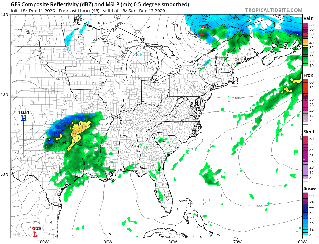
That low becomes a major storm near Newfoundland which re-enforces and strengthens a blocking pattern in the North Atlantic. The next cold high builds in Southeastern Canada and it funnels down much colder air southward Monday night and Tuesday. That cold air will make it rather far south into the Middle Atlantic states. The high is not going to move much Wednesday and Thursday as the next storm heads across the deep south and then turns northward up the East Coast.

The strength of the blocking high to the north is key as precipitation arrives Wednesday as snow. We will have to figure out whether some areas along the immediate coast change over to sleet for awhile but all areas could see accumulating snow out of this. Snow looks to arrive Wednesday morning from south to north and end before Thursday morning from west to east.

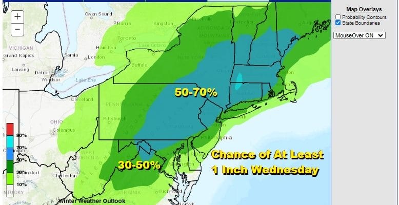
The Weather Prediction Center has a long range forecast that gives the probability of at least an inch of snow and for them to put it on the map 6 days out means they are watching it. In fact the probabilities just inland of the coast are in the 50-70% range with 30 to 50 % in the big cities and along the coast. This is their signal that the storm warrants attention.
BE SURE TO DOWNLOAD THE FREE METEOROLOGIST JOE CIOFFI WEATHER APP &
ANGRY BEN’S FREE WEATHER APP “THE ANGRY WEATHERMAN!
MANY THANKS TO TROPICAL TIDBITS FOR THE USE OF MAPS
Please note that with regards to any severe weather, tropical storms, or hurricanes, should a storm be threatening, please consult your local National Weather Service office or your local government officials about what action you should be taking to protect life and property.


