Snow Forecasts Updated Ice Issues Inland Thursday
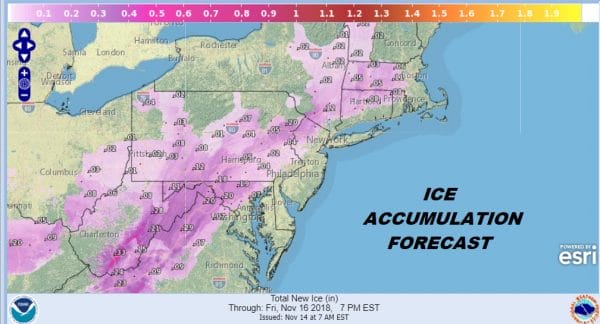
We are waiting for the next weather model cycle. Overnight models really didn’g change too much with colder NAM & European models verses warm GFS model. We have left everything the same regarding our forecast from yesterday. Snow will come in Thursday afternoon from Northeastern Pennsylvania to Southern New England. The issue for ice is growing for inland areas and the ice map above does show some significant icing from the Blue Ridge Mountains to the Poconos and Catskills. We will likely see Winter Weather Advisories posted later today in Northeastern Pennsylvania, Northern New Jersey to Hudson Valley and Connecticut. One thing to bear in mind as that this is the first event of the season and people will have forgotten how to drive in weather like this so exercise extreme caution on Thursday.
DOWNLOAD MY FREE APP FOR ANDROID
SUBSCRIBE TO MY WEATHER PLATFORM ON PATREON
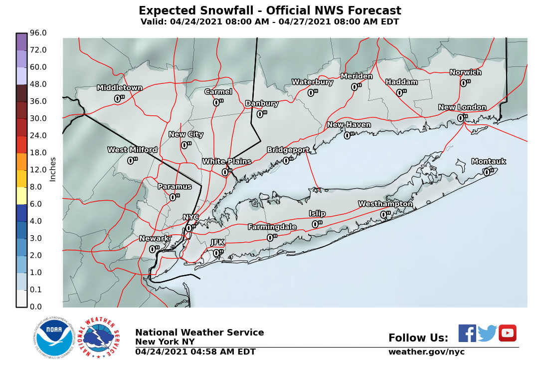
NEW YORK CITY AND VICINITY SNOW
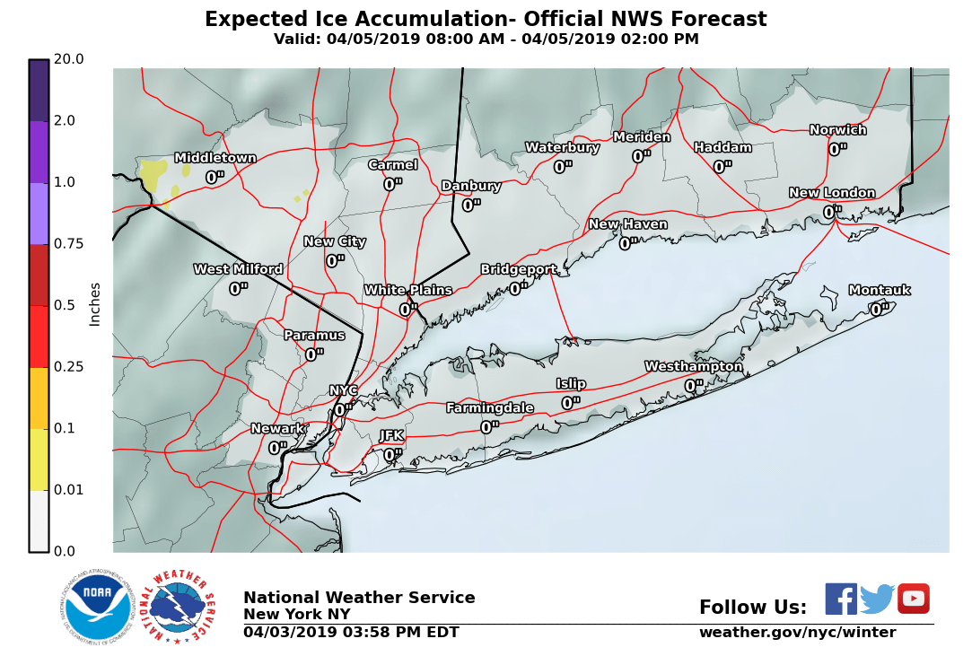
NEW YORK CITY & VICINITY ICE
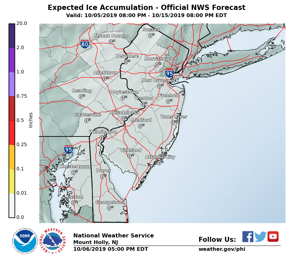
NEW JERSEY SE PA & VICINITY ICE
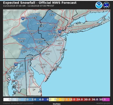
NEW JERSEY & PARTS OF NE PA
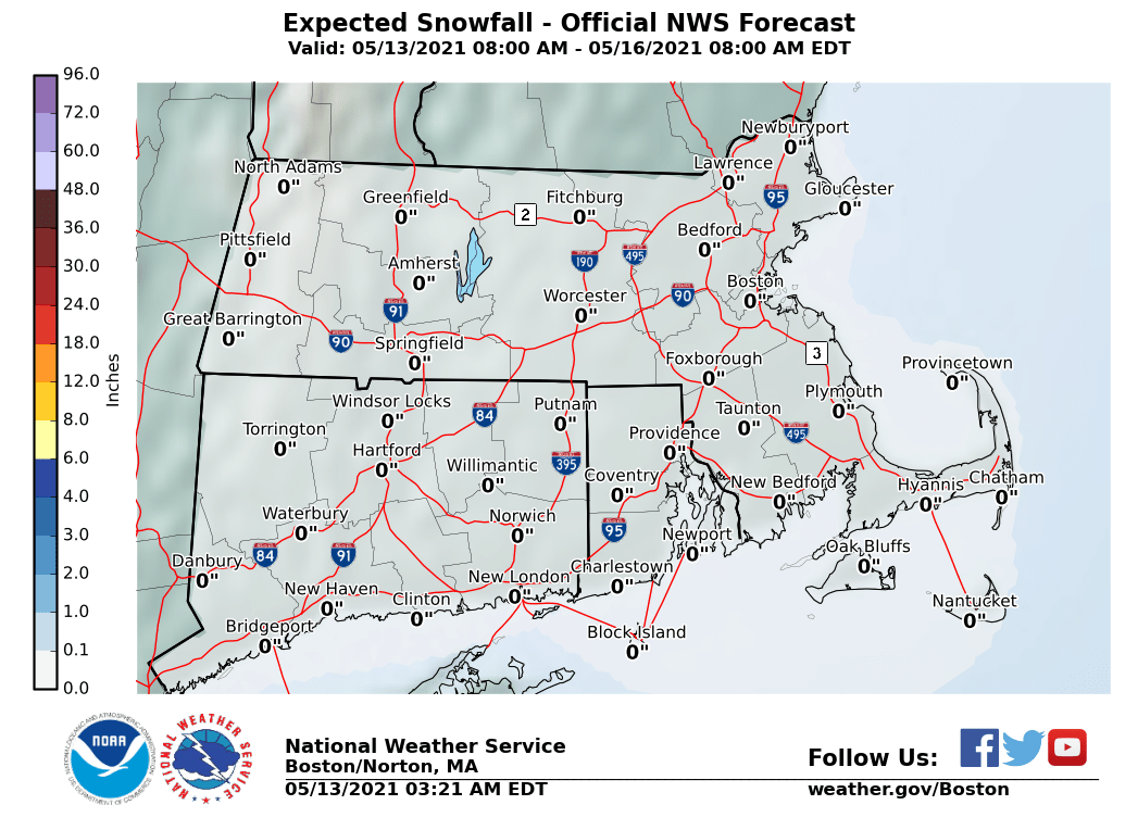
SOUTHERN AND SOUTHEAST NEW ENGLAND
NORTHERN NEW ENGLAND
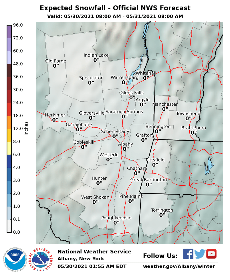
MIDDLE AND UPPER HUDSON VALLEY
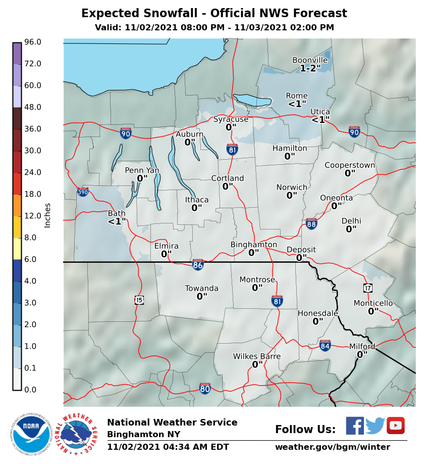
CENTRAL NEW YORK & NE PA
CENTRAL & SOUTH CENTRAL PA
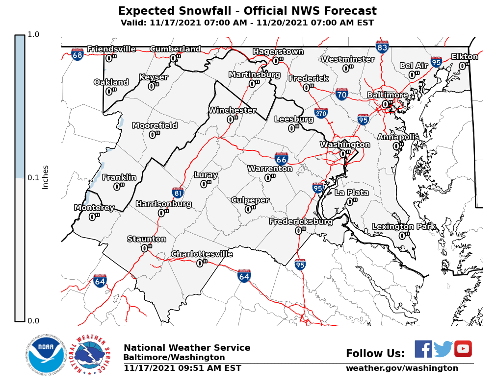
VIRGINIA & MARYLAND
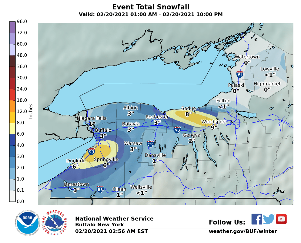
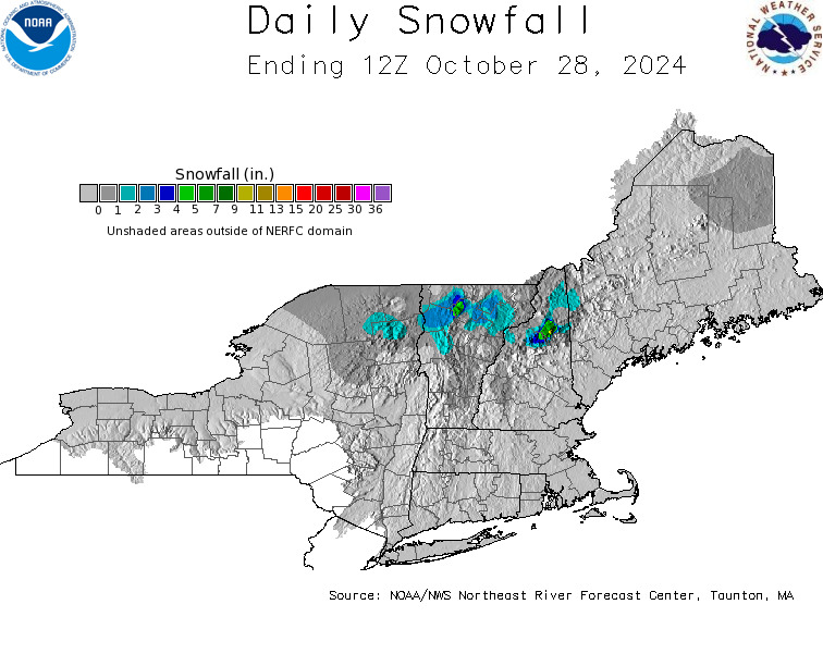
DAILY NORTHEAST SNOWFALL
Please be advised that these are National Weather Service Forecast Maps and they auto update. Each office may update at different times and some offices are slower to update then others. Maps are usually updated before 5am and & 5pm however they may be updated at other times depending on forecast conditions. These are not my forecasts. My forecasts can be found on the JOE’S SNOWFORECAST PAGE. Individual forecasts for specific areas may also be found when conditions warrant on the my area forecasts. Those can be found on the website menu. Click on forecasts and then select your specific area.


