Snow Forecast Saturday Early Call 03182017
Snow Forecast Saturday Early Call 03182017
GET JOE A CIGAR IF YOU LIKE
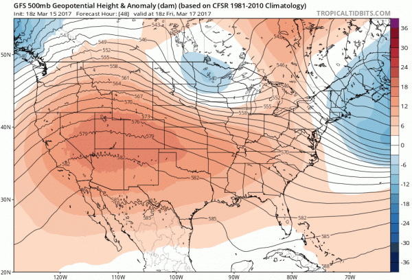
My snow forecast map above is posted for this coming Saturday March 18th. We have another weather system dropping down from the Great Lakes much like what happened with yesterday’s snow storm. However there is a big difference this time because we have no southern system for it to energize so it will have to produce things on its own. Weather models show this low dropping southeast into Lower Michigan and redeveloping off the Maryland coast. I’m not sure how much moisture will be available and everything I am seeing with regards to the upper air with this system would suggest something weak. The European model is the furthest southwest with the upper air trough that is swinging through.
GFS UPPER AIR FORECAST FRIDAY INTO SUNDAY MORNING
Meanwhile on the radar we continue to see snow showers streaming southeastward from upstate as the circulation of yesterday’s major storm continues to churn in Northern New England. New Jersey seems to be getting the bulk of the snow shower and snow squall activity and some areas in Central New Jersey are seeing the ground whitened up. We expect these snow showers to continue into the early nighttime hours before gradually diminishing overnight. Thursday we should see fewer snow showers if any at all as the atmosphere stabilizes a bit.
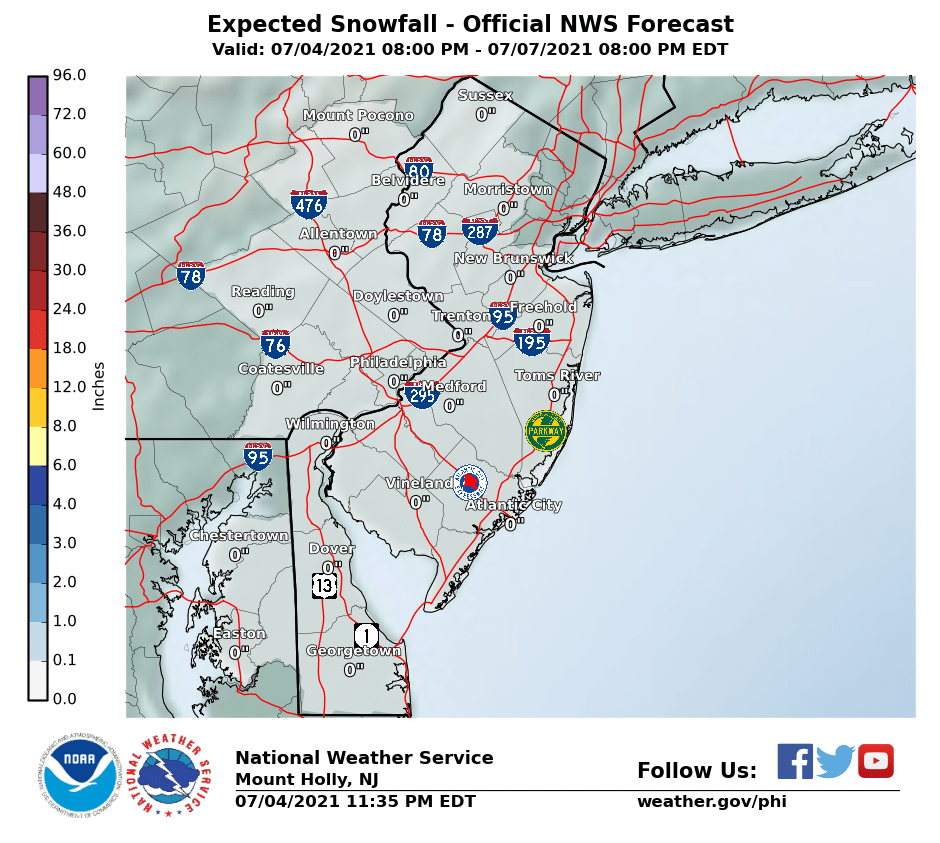
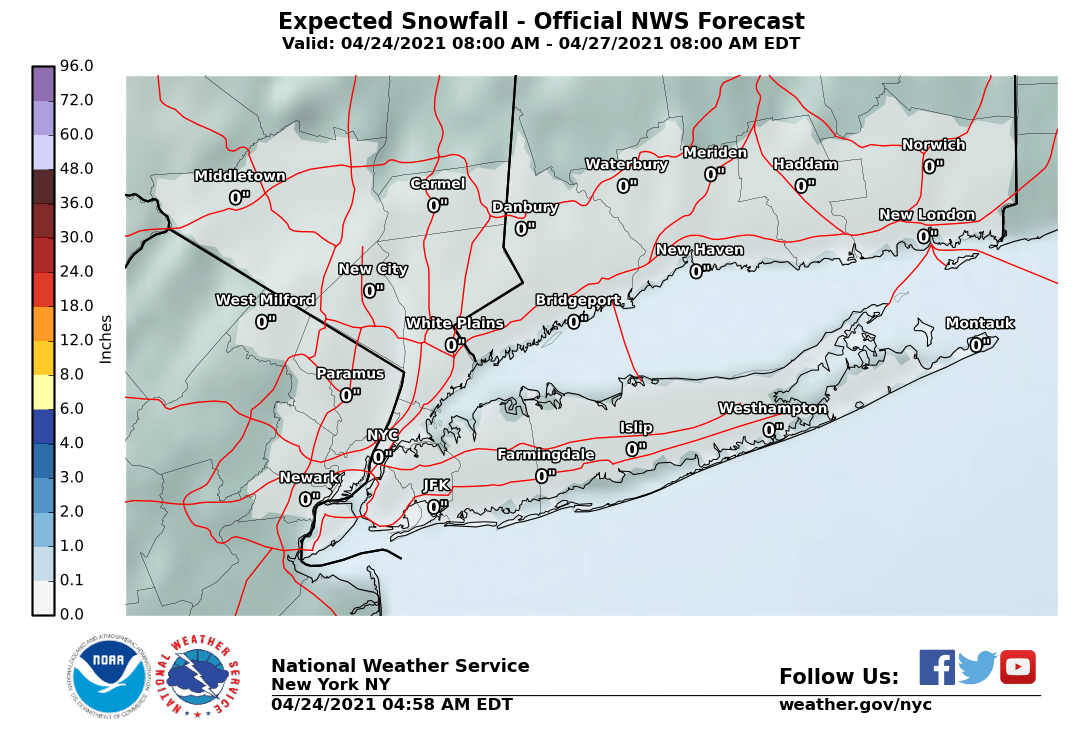
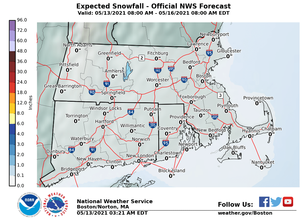
The maps below are the National Weather Service forecast snow maps with the most likely snowfall prediction. This is their forecast and I’m posting these maps for informational purposes. Posting these maps does not necessarily mean that I agree with them. My map is at the top of the page.
We will cautiously view the progress of weather models over the next 2 days. Nothing suggests any surprises here and let’s hope that remains the case.


