
Snow accumulation forecasts from all the major models continue to be robust over the next 10 days for both Eurasia (Siberia) and North America. The snow forecast takes us into November and remember that for Eurasia it is the rate of growth and not the actual snow depth that matters.
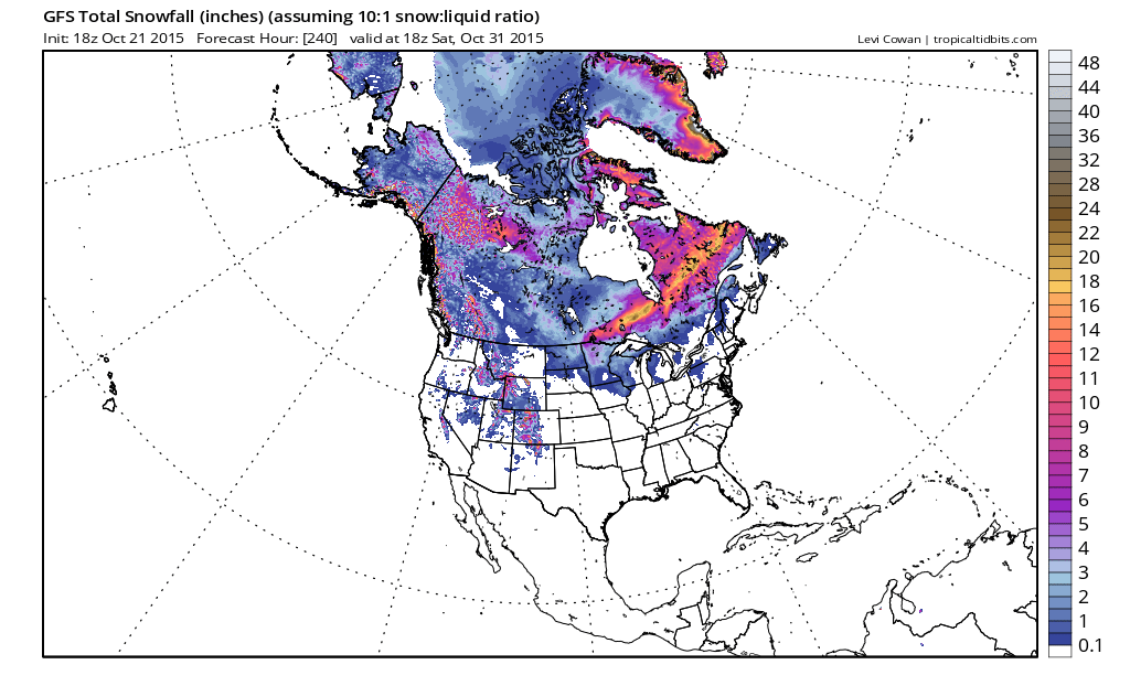
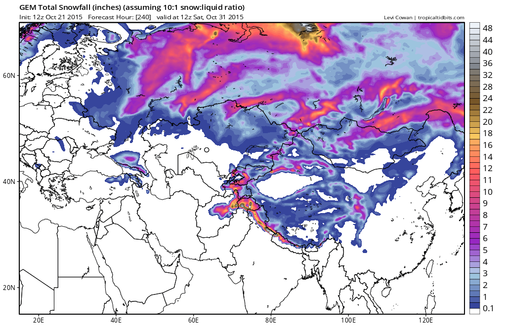
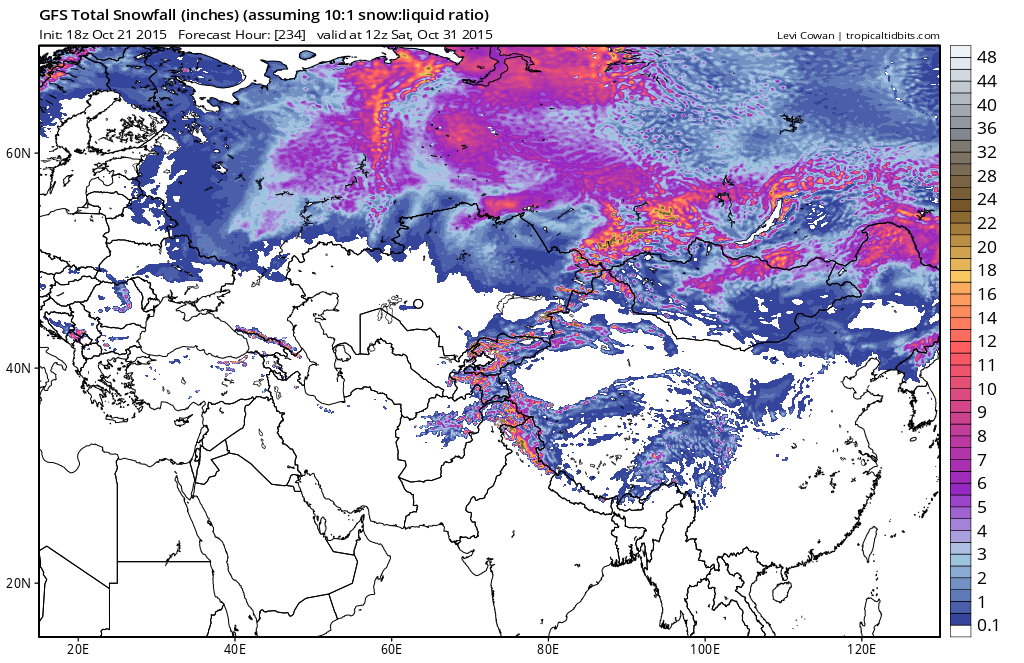 There are some differences between the 2 global models in how much falls on the southern and western flanks as the gfs seems to be more robust with snow on the western flank while the Canadian is more robust on the southern flank.
With regards to the snowfall in eastern Canada there have been questions concerning how relevant it is to the winter forecast and it may not be very relevant. A quick examination of the data over the last 15 years show that snow in the northeast was not necessarily dependent on the rate of snow growth in Eastern Canada. It appears that we have had snowy winters and snowless winters in years when eastern Canada snowgrowth was robust and the opposite is true as well. However the snow growth is due to the negative North Atlantic Oscillation and the negative Atlantic Oscillation. Should the pattern begin to favor cold air coming down from Canada it will have a colder source to tap earlier than in other years. Right now the pattern is shifting around to a stormy one later next week and beyond per today’s European GFS and Canadian model forecasts. The latest discussion on the European is up from earlier today as well as the gfs outlook for later next week. There are some differences but a lot of similarities in the developing pattern across the Pacific and in the Atlantic as well. Be sure also to check the morning forecast outlook for the short range through the weekend. 2 cold fronts and one more day of 70 plus temperatures are in the cards.