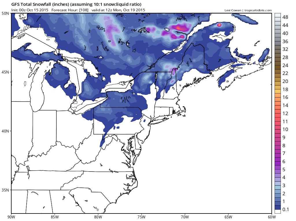
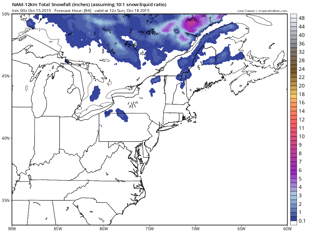
Call it practice for the coming winter but I thought I would put up the snow forecast maps from the GFS and Nam models from the overnight guidance and see what it comes up with. Clearly the models have 2 different ideas.
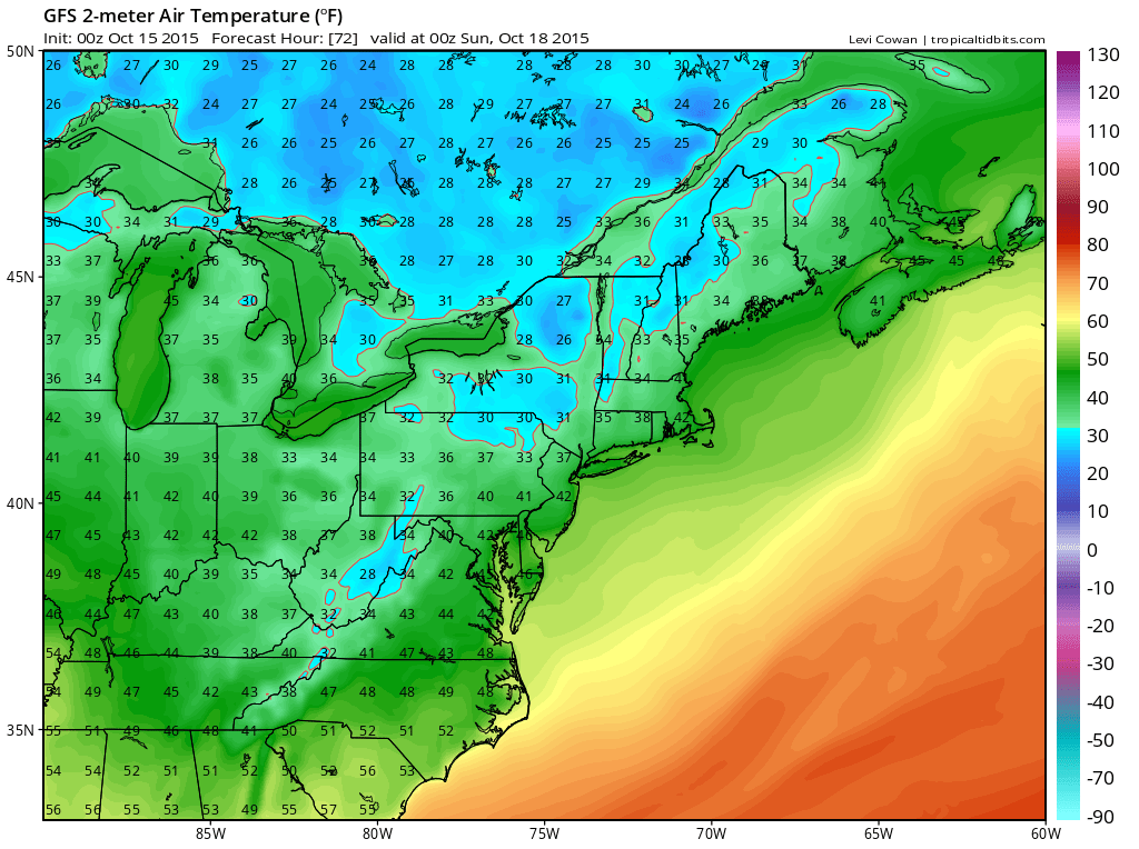
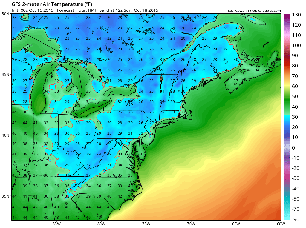
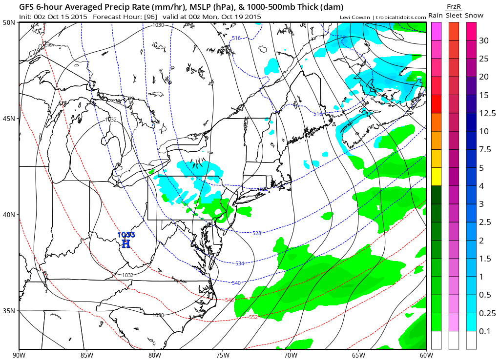
The surface temperatures really dont get cold until Saturday evening in those northern areas and by then the bulk of the precipitation is done. Another weak disturbance is shown to move across Pennsylvania and offshore New Jersey during Sunday.
How much of this remains to be seen. It does come along at the time the coldest air is overhead between 8pm Sunday to 2am Sunday. Snow flurries in the Poconos I suppose are not impossible if this is real. The model does show light rain in New Jersey. One thing to consider is that if there is cloud cover Sunday night, it could keep temperatures above freezing by Monday morning if this is real. This looks to be the cheapest of cheap thrills.
Download my app and subscribe to my forecasts for New York, New Jersey, Eastern Pennsylvania and Southern New England. The app is free and a subscription is just 99 cents a month.