Showers Passing Through Later Today
Showers Passing Through Later Today
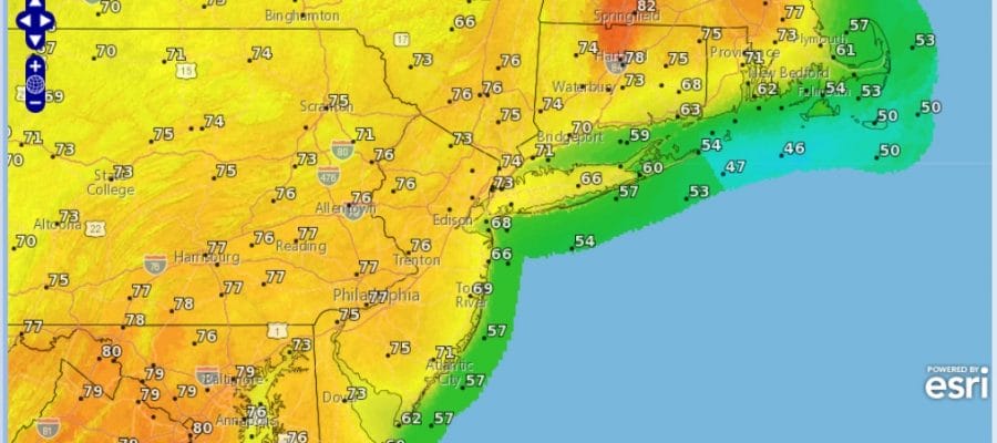
Yesterday’s strong storm system is now swirling away in upstate NY and we have the large upper air storm that has to move through today. The air is cold and unstable aloft so this is going to mean clouds developing and the chance for passing showers but they should be scattered in nature and not everyone will see them. Some breaks of sunshine are occurring this morning but they probably won’t last long as clouds bubble up. Temperatures today area going to have a tough time as they rise to the upper 40s and lower 50s on average.
Skies will start to clear out tonight from west to east but the track of the low may keep clouds in here for a little while longer overnight. But I believe by Saturay morning they should be gone and skies Saturday should go partly to mostly sunny with highs in the 50s.
SATELLITE LOOP

REGIONAL RADAR

LOCAL RADAR NEW YORK CITY

LOCAL RADAR PHILADELPHIA


The warm up for next week remains on course. It actually begins on Sunday with sunshine and highs in the 60s. The upper flow favors warmer air from the southwest to move in and no cold fronts until next Wednesday.
MONDAY FORECAST HIGHS

TUESDAY FORECAST HIGHS

Monday and Tuesday we will see sunshine and mainly a west wind which means temperatures should reach the 70s everywhere except maybe right along the immediate coast. I would not be surprised at all to see some 80 degree readings especially on Tuesday.
 GET JOE A CIGAR IF YOU LIKE

LANDSCAPE COMPANIES FOR YOUR NEEDS
LONG ISLAND ROCKLAND COUNTY Connecticut

![]()

ROCKLAND COUNTY TRI STATE SNOW REMOVAL JOHNSTOWN PA


FiOS1 News Weather Forecast For Long Island
FiOS1 News Weather Forecast For New Jersey
FiOS1 News Weather Forecast For Hudson Valley
NATIONAL WEATHER SERVICE SNOW FORECASTS
LATEST JOESTRADAMUS ON THE LONG RANGE
Weather App

Don’t be without Meteorologist Joe Cioffi’s weather app. It is really a meteorologist app because you get my forecasts and my analysis and not some automated computer generated forecast based on the GFS model. This is why your app forecast changes every 6 hours. It is model driven with no human input at all. It gives you an icon, a temperature and no insight whatsoever.
It is a complete weather app to suit your forecast needs. All the weather information you need is right on your phone. Android or I-phone, use it to keep track of all the latest weather information and forecasts. This weather app is also free of advertising so you don’t have to worry about security issues with your device. An accurate forecast and no worries that your device is being compromised.
Use it in conjunction with my website and my facebook and twitter and you have complete weather coverage of all the latest weather and the long range outlook. The website has been redone and upgraded. Its easy to use and everything is archived so you can see how well Joe does or doesn’t do when it comes to forecasts and outlooks.
Just click on the google play button or the apple store button on the sidebar for my app which is on My Weather Concierge. Download the app for free. Subscribe to my forecasts on an ad free environment for just 99 cents a month.
Get my forecasts in the palm of your hand for less than the cost of a cup of Joe!


