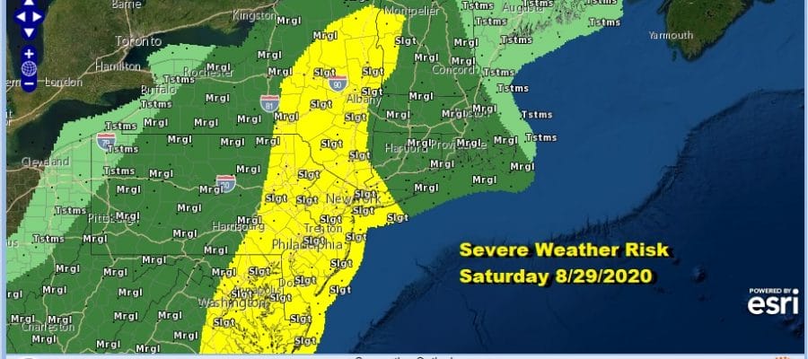
Severe Weather Risks Today Beautiful Weather Sunday Monday Cooler Less Humid
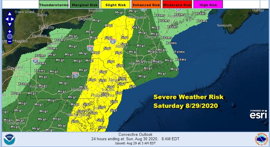
Today is the third consecutive day of severe weather risk which is highly unusual for this area. Usually fronts come and go but we have been fighting our way in and out of warm sectors since Thursday. Today’s risk covers a large area from North Carolina to New England and there is a 2% risk for tornadoes inside that slight risk zone.
SATELLITE

REGIONAL RADAR

We can see waves of showers and thunderstorms moving eastward on the regional and local radars though we also see the breaks in between. The remnant low of Hurricane Laura which is in West Virginia this morning is no longer a stand out feature like it was yesterday on the satellite and radars. What is left of it could enhance some of the thunderstorms especially to the south in the Mid Atlantic states.
LOCAL RADAR NEW YORK CITY

LOCAL RADAR PHILADELPHIA


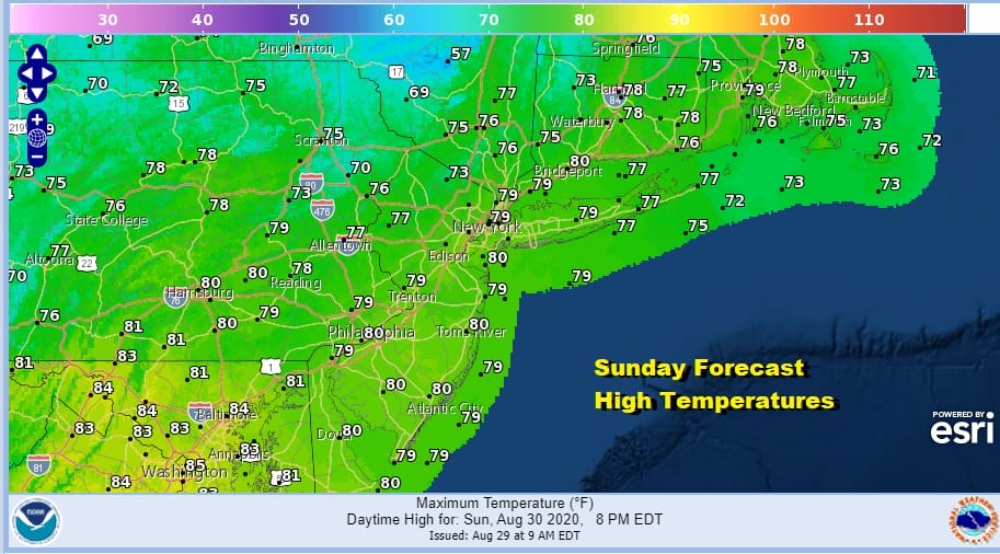
Once this plays out weather conditions will being to improve later tonight and by morning lows will be down in the upper 50s to mid 60s. Skies will clear out late tonight and that sets us up for a beautiful Sunday of sunshine, low humidity and highs in the 70s.
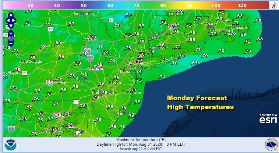
High pressure over Eastern Canada will make for a cool Sunday night into Monday morning with lows in the mid 50s to lower 60s. Monday will start with some sunshine but we will see clouds increasing during the afternoon. The high is moving out and a weak low to the south could push up some rain here Monday night into early Tuesday morning. Monday’s highs again will be just in the 70s.
Next week we will see weather fronts coming through every couple of days with these fronts struggling to some degree to keep on moving. The first will come Wednesday night but it will be weak. A second arrives late Friday and then tries to stall along the coast Friday night.
This is likely to open us up to opportunities for showers Wednesday night and again Thursday and Friday. Temperatures and humidity levels will be going up but we don’t see anything to crazy regarding heat at least. Highs Tuesday will be in the 70s thanks to clouds hanging around. Then we should start to see highs back into the 80s Wednesday and mid to upper 80s Thursday.
BE SURE TO DOWNLOAD THE FREE METEOROLOGIST JOE CIOFFI WEATHER APP &
ANGRY BEN’S FREE WEATHER APP “THE ANGRY WEATHERMAN!
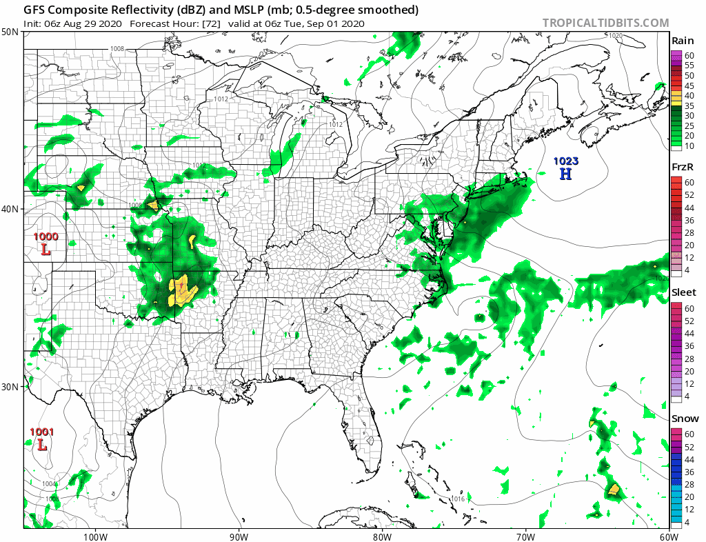
MANY THANKS TO TROPICAL TIDBITS FOR THE USE OF MAPS
Please note that with regards to any severe weather, tropical storms, or hurricanes, should a storm be threatening, please consult your local National Weather Service office or your local government officials about what action you should be taking to protect life and property.


