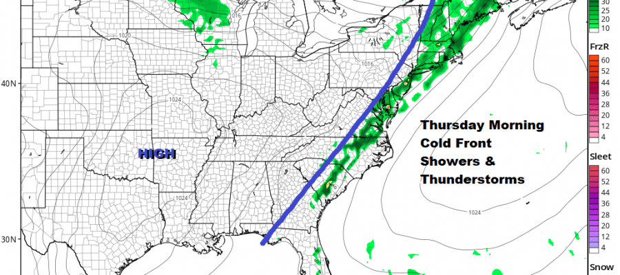
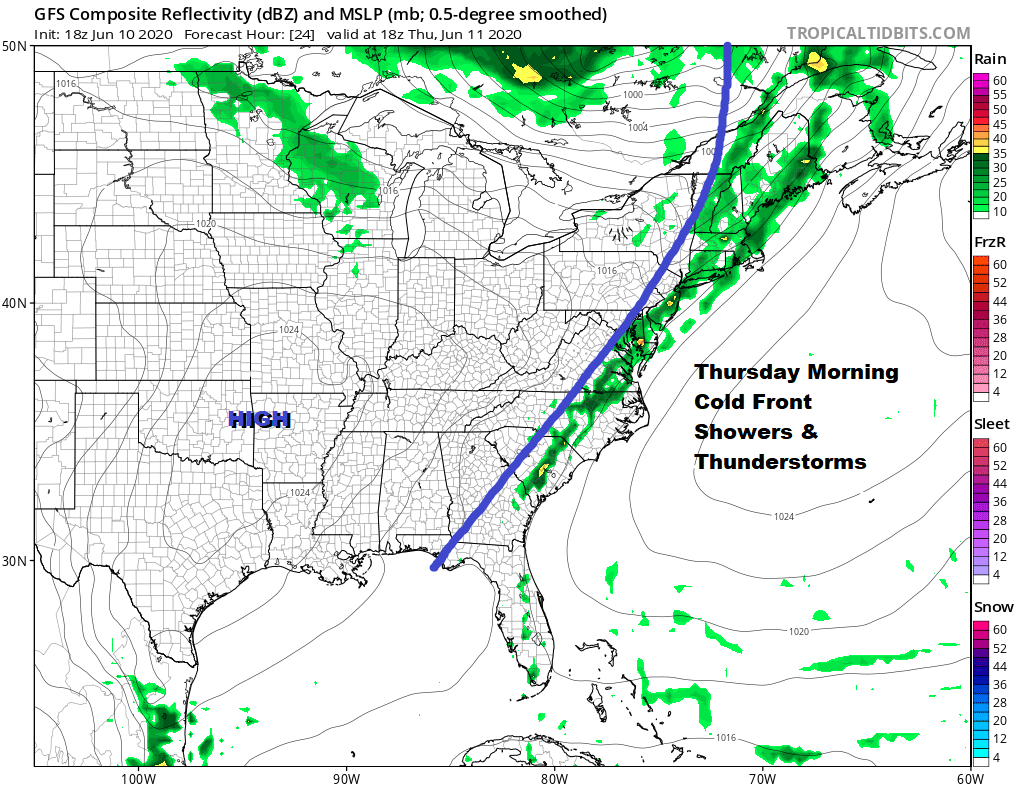
Severe Weather Risk Thursday Cold Front Passes Through
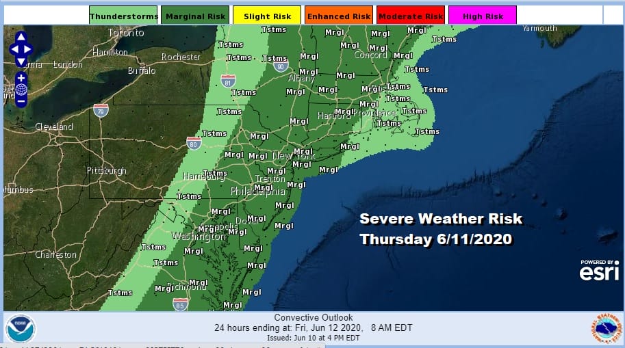
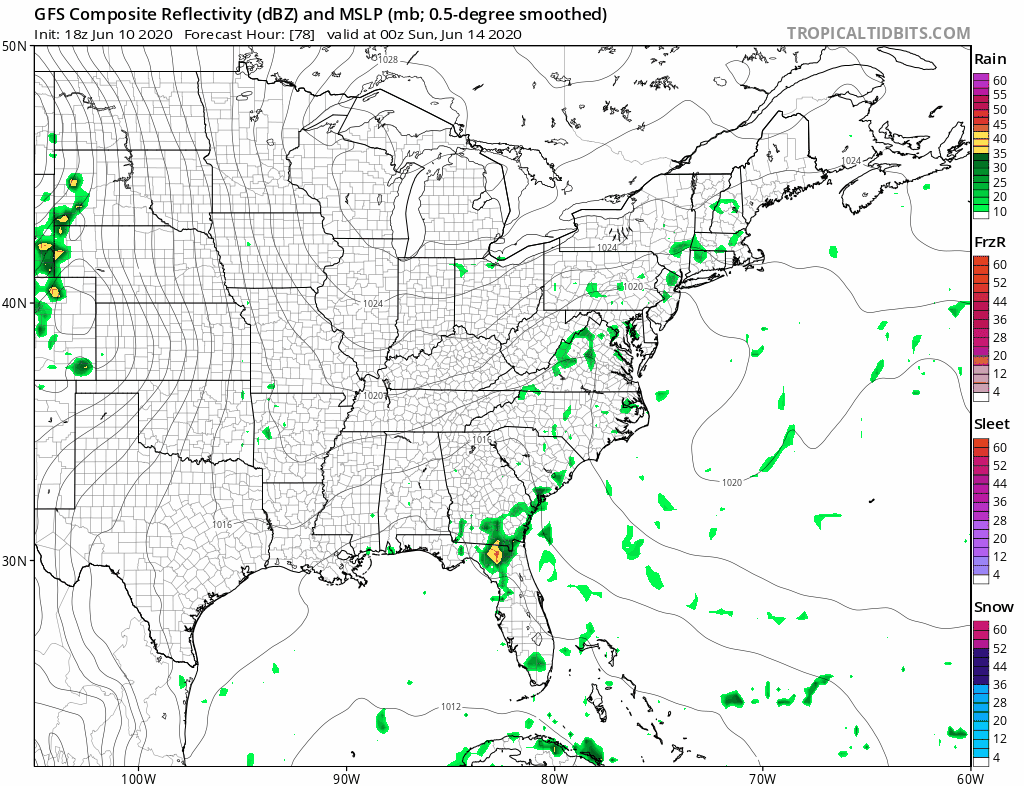
The Storm Prediction Center expanded the area of severe weather risk for Thursday and it now extends from Maine to South Carolina and it includes all the metro areas from Washington to Philadelphia to NYC to Boston. Southeast New England is left out of the marginal risk zone. This could be more of a heavy rain set up with isolated severe storms. The cold front involved is moving slowly eastward and it is creating some severe weather well to the west of us this evening.
SATELLITE

REGIONAL RADAR

While we sit in warm humid conditions this evening the radars are quite near the coast but some showers and thunderstorms are showing up on the local radars. More organized severe weather sits in tonight’s slight risk zone from Central Pennsylvania to Western Maryland. Movement is northeast with not much eastward progress at the moment.
LOCAL RADAR NEW YORK CITY

LOCAL RADAR PHILADELPHIA


The timing of the front is for Thursday morning into early afternoon which probably cuts back from a more widespread outbreak. Other than some cells in Eastern Pennsylvania particularly the northeast, showers will wait until the early morning hours to about daybreak before they show up. Then the front pushes offshore early in the afternoon leading to some improvement from west to east later in the day Thursday.
Temperatures Thursday will be limited by clouds but highs will still reach the upper 70s and lower 80s. Friday looks like a dry warm day with some sunshine and highs in the 80s even though another cold front approaches and passes. This one is weak so other than an isolated shower or thunderstorm we suspect that Friday will be dry.
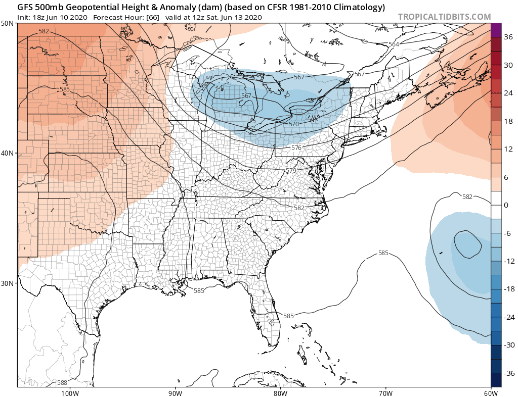
The thinking for the weekend is that Saturday still remains the better of the two weekend days. The pattern is complicated by Friday’s cold front that stalls offshore and energy that shears off from the Great Lakes and drops southward cutting off in West Virginia. This probably means that we will see low pressure spin up on the front and that at least brings clouds in for Sunday. Saturday’s highs will be in the 70s to near 80 while Sunday’s highs will be lower, lets say low and middle 70s due to cloud cover.
Pop up showers are possible late Saturday though scattered in nature. Then we will have to see how it sets up for Sunday as the upper low will trigger some showers and thunderstorms but they may be more numerous well inland versus the coast. Things might shift a bit further east for Sunday night and Monday but for now the situation is in a bit of state of flux.
BE SURE TO DOWNLOAD THE FREE METEOROLOGIST JOE CIOFFI WEATHER APP &
ANGRY BEN’S FREE WEATHER APP “THE ANGRY WEATHERMAN!
MANY THANKS TO TROPICAL TIDBITS FOR THE USE OF MAPS
Please note that with regards to any severe weather, tropical storms, or hurricanes, should a storm be threatening, please consult your local National Weather Service office or your local government officials about what action you should be taking to protect life and property.


