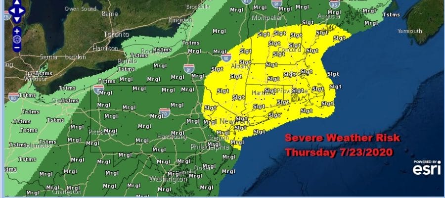
Severe Weather Risk This Afternoon Weather Improves Friday Weekend
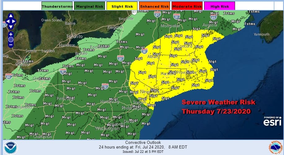
Yesterday’s severe weather outbreak was rather robust for most (but not all) areas. Today we have a cold front approaching, a short wave trough in the upper atmosphere, another day of daytime heating with highs reaching upper 80s and lower 90s, and high humidity. That means thunderstorms and severe weather. The Storm Prediction Center has us in a slight risk from Northern New Jersey northeastward into Southern and Central New England with marginal risk extending south into almost all of Pennsylvania, Maryland, Delaware and Virginia.
SATELLITE

REGIONAL RADAR

We do have some cloud issues this morning and we also have some showers and downpours on the regional and local radars so this might impact how high temperatures get this afternoon. The main development of any thunderstorms on the radars might come a little earlier today than yesterday so we will be keeping an eye on that.
LOCAL RADAR NEW YORK CITY

LOCAL RADAR PHILADELPHIA


Short range weather models were not that good with the development of thunderstorms yesterday and we suspect they will under perform again today. The HRRR model develops some strong cells later this afternoon and evening and we tend to lean in the direction of some upside in thunderstorm activity given the current state of the atmosphere and rather high instability.

As a whole the atmosphere begins to calm down on Friday with a cold front lingering overhead but mainly offshore. There might be a pop up shower or thunderstorm but we should spend most of the day in a mix of sun and clouds. Highs will be in the mid to upper 80s.

The weekend is looking good with sunshine for both Saturday and Sunday with no major issues and other than an isolated shower or thunderstorm, it will be dry. Highs Saturday will be in the 80s to near 90. Humidity levels will be down a shade Saturday but it will be back up on Sunday along with temperatures. We could see highs of 90 to 95.

Next week looks rather interesting as the northern part of the jet stream becomes active and sends shortwave troughs southeastward and into the Northeast. This will suppress the heat ridge that lies across the Southern US and should lead to a break in temperatures and humidity though to what extent remains a question at this time. Also we note that weather models like to do this in the long range only to back off in the short range. It did it this earlier this week pointing to a break this weekend that is now pretty much off the table. If the northern jet stream does become active it does open the door for some shower and thunderstorm activity from time to time next week.
BE SURE TO DOWNLOAD THE FREE METEOROLOGIST JOE CIOFFI WEATHER APP &
ANGRY BEN’S FREE WEATHER APP “THE ANGRY WEATHERMAN!
MANY THANKS TO TROPICAL TIDBITS FOR THE USE OF MAPS
Please note that with regards to any severe weather, tropical storms, or hurricanes, should a storm be threatening, please consult your local National Weather Service office or your local government officials about what action you should be taking to protect life and property.


