September Weather Moving East Through Weekend
September Weather Moving East Through Weekend
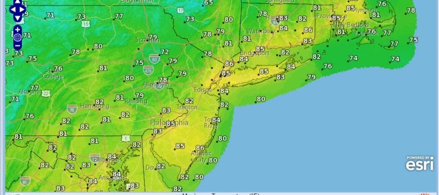
Last’s nights severe weather especially over Central New Jersey was especially fierce with flash flooding and even a Tornado Warning that was issued for Warren County. We also had numerous severe thunderstorm warnings as well. Now that cold front is to the east and it is just a matter of working through the leftover clouds this morning which will gradually push offshore. We will see increasing amounts of sunshine as we go through the afternoon. Temperatures today will still be in the warm 80s but humidity levels will be dropping off. This cool down is going to take several days or more to play out so it will be a nice long duration stretch of lovely early September weather.
SATELLITE LOOP

REGIONAL RADAR

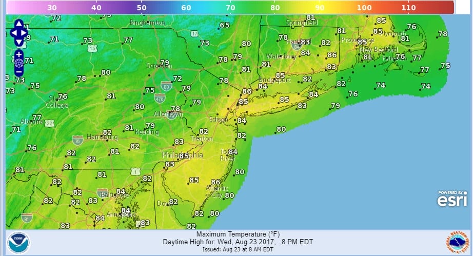
Radars are going to be nice and quiet for awhile. Skies will be clear tonight and the next 3 or 4 days will feature sunshine with a fresh north to northeast wind. Temperatures Thursday will be in the upper 70s to lower 80s and Friday through Sunday most highs will be in the 70s. Nights will settle into the 50s to low 60s. Humidity will be very low. No rain is in the forecast through at least Sunday and possibly beyond that.
 GET JOE A CIGAR IF YOU LIKE

FiOS1 News Weather Forecast For Long Island
FiOS1 News Weather Forecast For New Jersey
FiOS1 News Weather Forecast For Hudson Valley