Rain Moving Northward Tonight
Rain Moving Northward Tonight
Steamy Weather Arrives Tuesday
Hot & Humid Wednesday-Friday

Clouds are beginning to head our way and shortly we will begin to see Rain Moving Northward. At least through the rest of this afternoon and into this evening most of the area will be fine and for areas north and east of New York City sunshine should continue for another few hours before clouds move in. I still think that for the MACY’S FIREWORKS which begins at 9PM, rain will be close by but should hold off until right after the fireworks end.


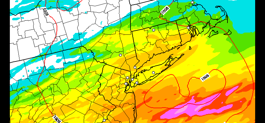
Rain Moving Northward
Rainfall Forecast
The area of rain to the south right now looks rather impressive with some embedded heavier showers in the mix. Rainfall forecast amounts vary from model to model. We will look at the HRRR model which shows an average of 1/2 inch to an inch in most places with some areas getting a bit more especially south of New York City.
Rain Moving Northward HRRR Rainfall

The radar forecast of the HRRR model has rain moving in around 9-10pm around New York City which might be a bit fast….at least we hope it is. By morning the HRRR model still has rain going over much of the area with the heaviest rain to the south. Now this model has been highly volatile lately and has tended to overdo things so we would take this with a grain of salt.
Rain Moving Northward HRRR Model Tuesday 8am

Once this rain ends and the sun breaks through the clouds Tuesday, get set for some very warm steamy conditions and I think this could trigger off some scattered downpours or a thunderstorm in a few spots late in the afternoon Tuesday. Temperatures will be in the 80s. Then Wednesday we begin a stretch of hot and humid weather to carry us through the rest of the week. I don’t think there will be any thunderstorm activity on Wednesday but there could be some late in the day Thursday and Friday in a few areas. Temperatures Wednesday through Friday will be in the upper 80s to lower 90s as some real summer weather settles in.
FiOS1 News Weather Forecast For Long Island
FiOS1 News Weather Forecast For New Jersey
FiOS1 News Weather Forecast For Hudson Valley
NATIONAL WEATHER SERVICE SNOW FORECASTS
LATEST JOESTRADAMUS ON THE LONG RANGE
Weather App

Don’t be without Meteorologist Joe Cioffi’s weather app. It is really a meteorologist app because you get my forecasts and my analysis and not some automated computer generated forecast based on the GFS model. This is why your app forecast changes every 6 hours. It is model driven with no human input at all. It gives you an icon, a temperature and no insight whatsoever.
It is a complete weather app to suit your forecast needs. All the weather information you need is right on your phone. Android or I-phone, use it to keep track of all the latest weather information and forecasts. This weather app is also free of advertising so you don’t have to worry about security issues with your device. An accurate forecast and no worries that your device is being compromised.
Use it in conjunction with my website and my facebook and twitter and you have complete weather coverage of all the latest weather and the long range outlook. The website has been redone and upgraded. Its easy to use and everything is archived so you can see how well Joe does or doesn’t do when it comes to forecasts and outlooks.
Just click on the google play button or the apple store button on the sidebar for my app which is on My Weather Concierge. Download the app for free. Subscribe to my forecasts on an ad free environment for just 99 cents a month.
Get my forecasts in the palm of your hand for less than the cost of a cup of Joe!

MENTION JOE CIOFFI AND GET A 5% DISCOUNT


