Rain Gradually Ends Weather Slowly Improves Father’s Day Weekend Weather Outlook
We are working through the rain this morning which has basically split itself into two areas. One that went into Southeastern New England and the other staying mainly from the longitude of NYC westward where the rains came overnight and it has been raining steadily all morning. There is a bit more rain to get through. The areas east of NYC will see the hole close somewhat from now until early afternoon so you will play some catch up. Rainfalls in New Jersey will finish in the 1 to 2 inch range while areas to the east will see half that. The rain is already done in Southeastern Pennsylvania and it is now ending from south to north in Southern New Jersey. .
SATELLITE
REGIONAL RADAR
We are stills seeing moderate to heavy rain in New Jersey into the Catskills. Rain has now advanced east of NYC to Long Island and Connecticut. All of the areas north and east of NYC will see rains come to an end early this afternoon.
LOCAL RADAR NEW YORK CITY
LOCAL RADAR PHILADELPHIA

Temperatures in the meantime are going to struggle in the 60s while it is raining but some areas where the rain pulls out early and the onshore flow relaxes will see highs reaching into the 70s. There could be another shower or two this evening but the chances of this are low. Then skies should clear out overnight with most lows in the 50s. Friday will be breezy with a mix of sun and clouds with the chance for a brief shower north and west of the coast. Highs will be just into the 70s. High pressure moves quickly off the East Coast which sets up nicely for the weekend.
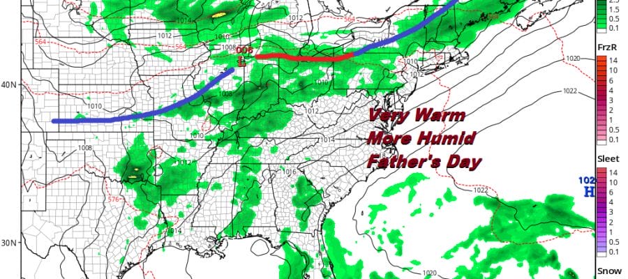
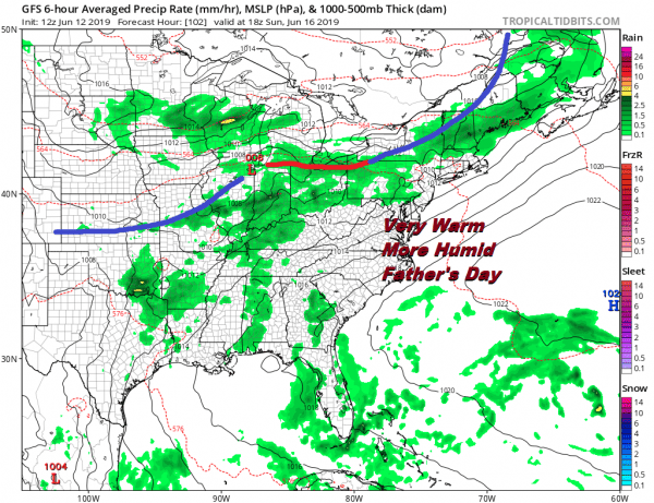
Saturday will be mainly sunny with highs reaching into the 80s. Sunday as the map shows above the frontal boundary to the north will mean very warm and humid conditions with some sun. Highs will be in the 80s and in some places well into the 80s. There is the chance for scattered inland thunderstorms late in the day and perhaps a better chance for thunderstorms Sunday night. Father’s Day will turn out to be fine and so will most of the weekend.
MANY THANKS TO TROPICAL TIDBITS FOR THE USE OF MAPS
Please note that with regards to any tropical storms or hurricanes, should a storm be threatening, please consult your local National Weather Service office or your local government officials about what action you should be taking to protect life and property.


