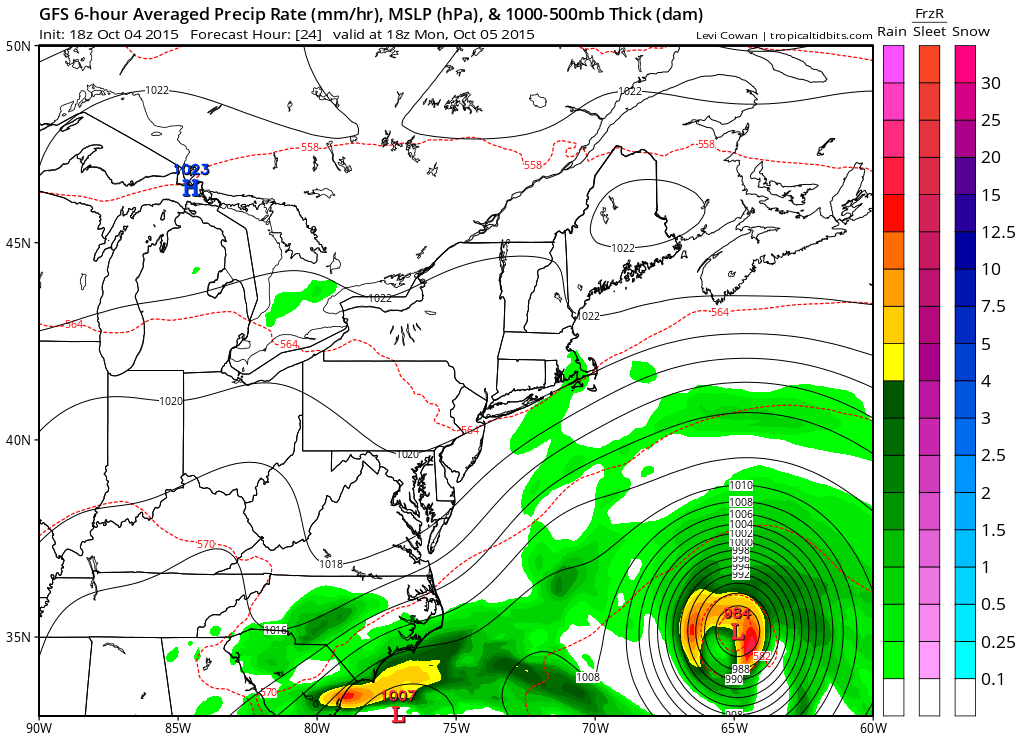
With the noreaster conditions slowly but surely relaxing, we have a relatively quiet week ahead of us. There is still the risk of coastal flooding today in New Jersey however with the wind turning more parallel to the beach as opposed being directly perpendicular to the coast, flooding should be less in most areas except perhaps in the most vulnerable of places.
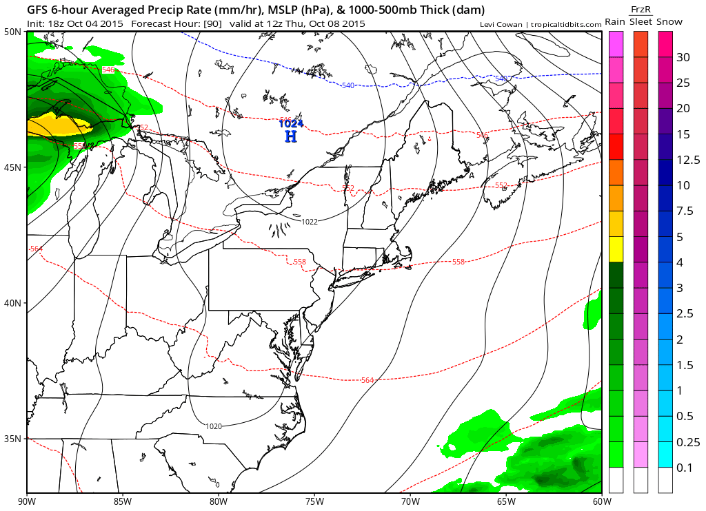
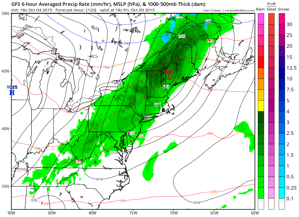
The only chance for rain looks to be on Friday as a cold front approaches and moves on through. This does not look to be a big rain producer other than some showers when it goes by Friday afternoon. The weekend looks good overall with another front possibly dropping down from the north on Sunday but there probably won’t be any weather with that.
Now beyond next weekend the pattern as we mentioned yesterday in our Joestradamus piece appears to be in transition. The GFS model is insisting on a much colder look for mid month and beyond. The European does not go far enough out to see beyond day 10. The overall flow across the United States in the next week to 10 days does not favor much storminess.
Be sure while the weather is calm you prepare for when the weather is stormy by downloading my weather app and subscribing to my forecasts for New York New Jersey Eastern Pennsylvania and Connecticut including New York City, Long Island, and Philadelphia and everyone in between. The app is free and a subscription is just 99 cents. The app is free from advertising and there are no security or tracking issues.