SLOW IMPROVEMENT TODAY WITH CLOUDS AND SOME FRONT
WEAK SYSTEM TONIGHT BRINGS SHOWERS EARLY MORNING
WEATHER CONDITIONS IMPROVE LATER MONDAY, QUIET WEEK AHEAD
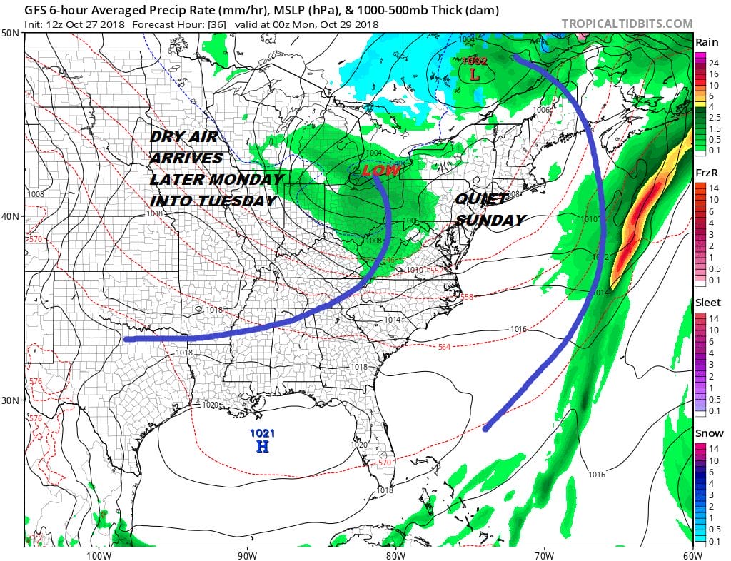
It does look like a better day today with cloud and some breaks of sunshine. We still have some leftover clouds to work through this morning but the satellte does have an somewhat optimistic look to it. Temperatures today will be in the 50s to near 60. We do have another system comig through tonight with a few showers after midnight and before daybreak. Then that weather system moves along and weather conditions improve on Monday with clouds and maybe some breaks of sunshine developing in the afternoon. Temperatures will be in the 50s to near 60.
EASTERN SATELLITE

REGIONAL RADAR

We still see a little action on the regional and local radars but the showers are few and far between and on the light side if they are even reaching the ground.
LOCAL RADAR NEW YORK CITY

LOCAL RADAR PHILADELPHIA


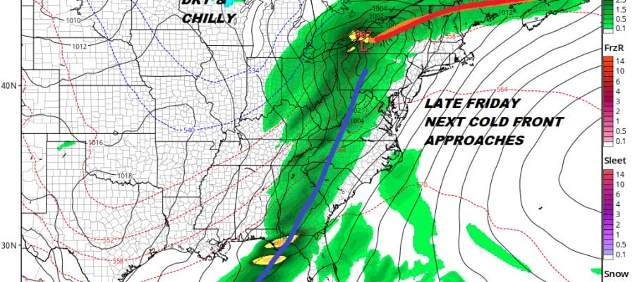
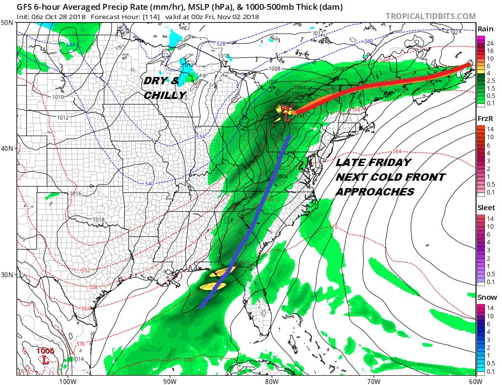
The week ahead looks relatively quiet until Friday when the next cold front approahes with some showers late Friday into Friday night. The big question remains whether that front stalls out and another wave develops bringing rain next Saturday. Otherwise the pattern looks benign for this week.
SUBSCRIBE TO PATREON FOR A WEATHER EXPERIENCE FREE OF ADS, EXCLUSIVE VIDEOS FOR MEMBERS ONLY AND MUCH MORE…STARTS AT $2 A MONTH..MESSAGE ME AT ANY TIME

MANY THANKS TO TROPICAL TIDBITS FOR THE USE OF MAPS
Please note that with regards to any tropical storms or hurricanes, should a storm be threatening, please consult your local National Weather Service office or your local government officials about what action you should be taking to protect life and property.
LATEST JOESTRADAMUS ON THE LONG RANGE


