Here we are now past the statistical peak for hurricane season and we have hit a sort of milestone. There have been no hurricanes anywhere in the Atlantic Basin west of 50 degrees west. This is the first time this has happened since 1914. Now the season has a little over 2 months to go and it is still possible that we will get a hurricane. However you can see the impact of El Nino and how there is not only el nino enduced strong shear across much of the tropical Atlantic, but there is also large amounts of dry air which have been over much of the tropics all season long! Pretty amazing really when you think about it. Yes there have been 9 named tropical storms and 1 Hurricane (Danny) however the tropical storms have really been minimal systems with 2 hitting land (Ana and Bill).
Now with regards to Tropical Depression Ida it is still out there and barely holding on . This is another example of how models forecast shear to decrease and it never does. Ida will be a remnant low before too long and another one will disappear. On the loop you can see the circulation is on the western most edge of thunderstorms that continue to be blown away to the east while the circulation itself moves slowly northward. Unless something radical happens I think we are done talking about this one.
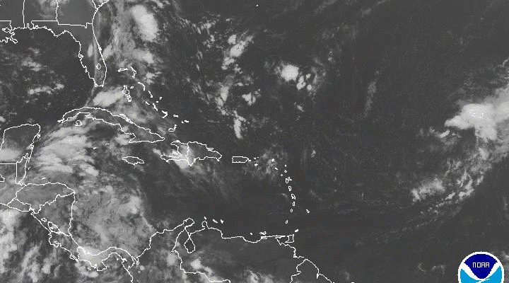
Disturbed weather is in the Northwest Caribbean and it is moving northward. It is going to move into the Gulf of Mexico over the weekend. Conditions there are only slightly favorable for development and while low pressure is going to form there, I wonder whether anything tropical will evolve out of it other than something minimal.


Low pressure is going to develop over the east coast and while this has no tropical characteristics nor is development expected, it will interact with high pressure to the north to produce a strong onshore flow this weekend and possibly some rain though there are big quesiton marks about that. You can see the upper feature above however that feature is forecast to weaken and move westward which is why Im not too keen on the idea of rain here though there will be cloud cover over the weekend so it won’t be picture perfect.

The visible satellite loop above shows Tropical Depression Ida there to the east with a cold upper low east of the Bahamas. The circulation of Ida is pretty much completely exposed except on the eastern side.
Check the latest marine forecast for our area and the local forecast . Small Craft Advisories are posted for us for the weekend as rough ocean conditions develop from an onshore flow.
Be sure to download my weather app and subscribe to my forecasts. The app is free and the subscription is just 99 cents a month. The app is free of advertisement and there are no tracking or security issues.