
As we march through the rest of the weekend and into next week I thought it was time to do a fresh new GFS view of what is happening in the short term. With dry air basically all over the place it is going to be hard to generate any serious thunderstorm activity ahead of the next front and while there will be some scattered activity when the front rolls through I’m not overwhelmed but all this at this stage of the game.

The 48 hr gfs above has the front still well west on Monday morning and while there is some activity in the green (rainfall) areas again it is not something to write home about. Im thinking that Monday will be more humid and very warm to hot depending on where you are and that there will be scattered thunderstorms as the front approaches
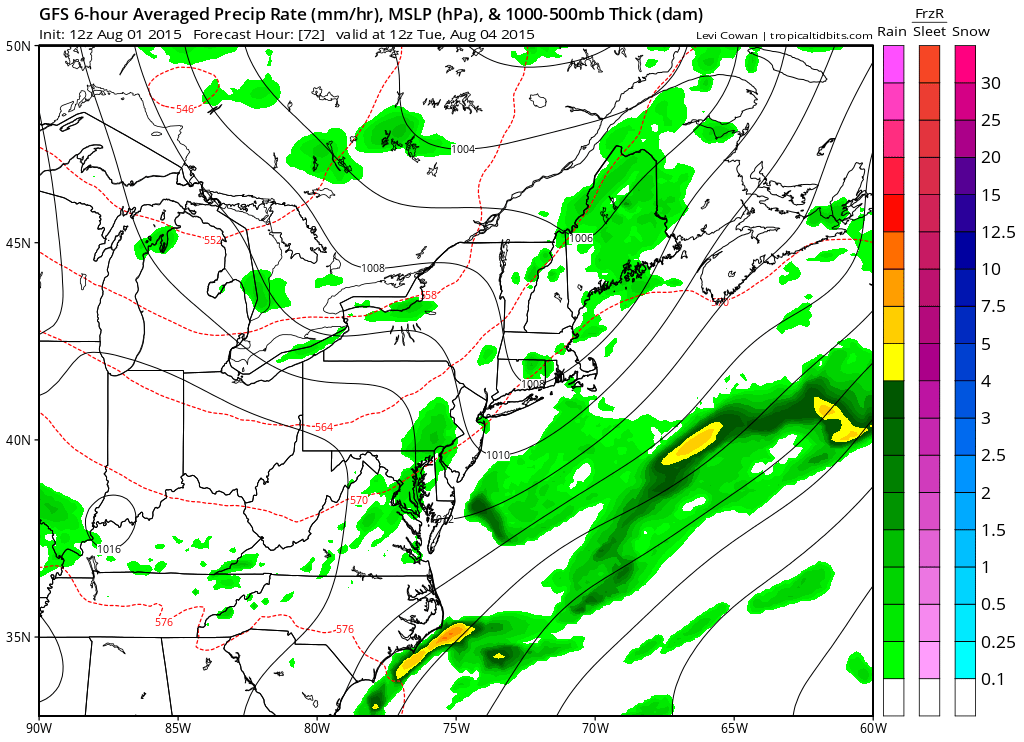
By Tuesday morning the front is through and dry air follows. Tuesday could be one of those days where it isn’t all the cool behind the front at least at first and that we could see temperatures still well into the 80s to near 90 with blue skies and sunshine and very low humidity.
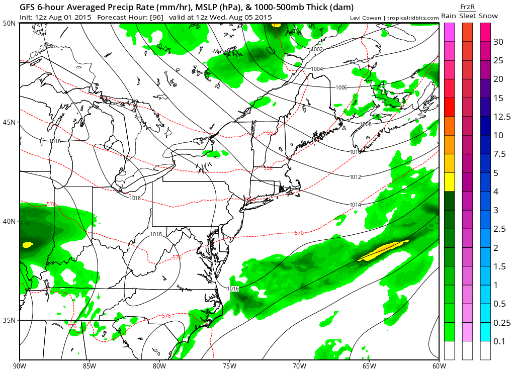
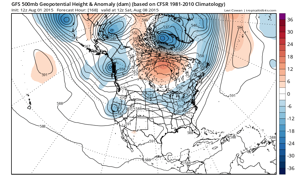
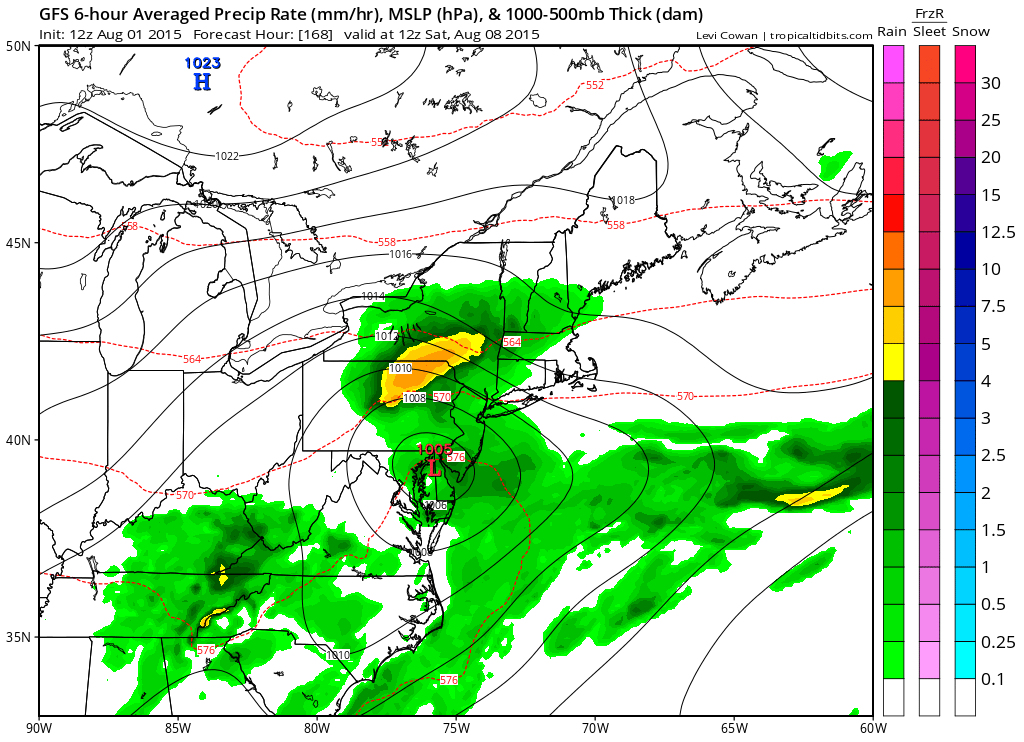
Beyond Tuesday is where it gets a little dicey in terms of the forecast. The upper trough in the east will be there and this front will likely get hung up. Models are showing wave development on the front which could bring showers or even a steady period of rain here for the late week period. Cool air will be building down from the north and the gfs wants to actually show a low with a northeast wind and rain for next weekend! Im not at the point of buying this but the persistent trough in the east is a concern. For now the troughs have been great in bringing down cooler drier air masses with regularity. However with the trough hanging back and a strong disturbance upstream coming into play, this time around it could be different. For now it is prove it to me!
Bottom line is that it will cool off some after Tuesday..very warm until then