
The season’s 7th tropical depression has formed and it looks very well organized and it looks like it will become Tropical Storm Grace before too long. Conditions are favorable for the time being for some strengthening to occur. This depression formed south and west of Fred and is embedded in a strong easterly flow so it should move west or west northwest overtime.
SUMMARY OF 1100 AM AST...1500 UTC...INFORMATION
-----------------------------------------------
LOCATION...12.3N 25.2W
ABOUT 270 MI...430 KM SSW OF THE CAPE VERDE ISLANDS
MAXIMUM SUSTAINED WINDS...35 MPH...55 KM/H
PRESENT MOVEMENT...W OR 280 DEGREES AT 14 MPH...22 KM/H
MINIMUM CENTRAL PRESSURE...1008 MB...29.77 INCHES


WATCHES AND WARNINGS
--------------------
There are no coastal watches or warnings in effect.

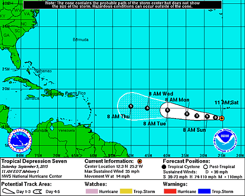
The National Hurricane Center track follows the idea that this depression could initially strengthen before weakening due to shearing. The lack of development would also favor a more westerly course as the system responds more to winds in the lower atmosphere then the winds in the upper atmosphere were it to be a deeper tropical storm or hurricane.
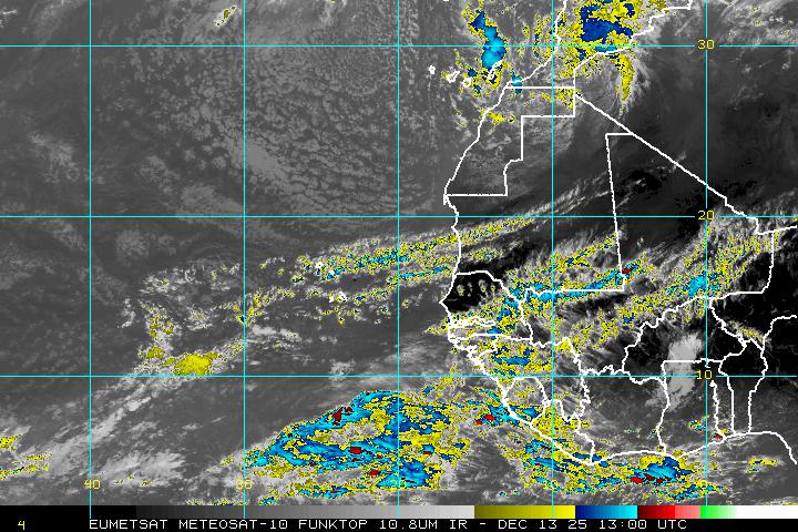
As far as the overall pattern across the Atlantic nothing has changed. The loop below shows strong westerlies all acorss the Atlantic creating a massive shearing environment so until proven otherwise, this tropical system awaits the same fate as Tropical Storm Danny and Tropical Storm Erika. However I just want to point out as I have on several Joestradamus pieces over the last few days that the model volatility has been very high. Today’s runs for example are showing a round of wholesale changes across North America that are decidedly different from what was shown last night and that was different from what was shown yesterday. This might suggest perhaps some changes over the Atlantic that could allow this depression to survive but I am a long way from committing to that position.
