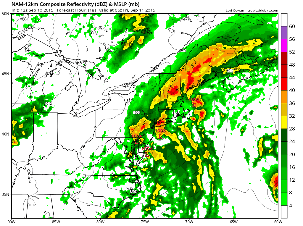
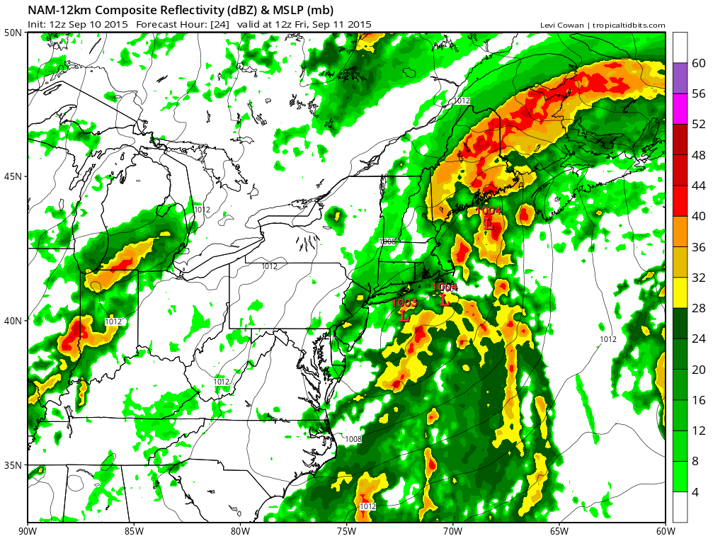
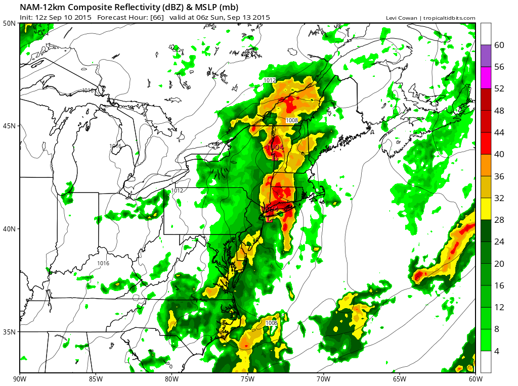
The nam produces some hefty rainfalls in some areas later this afternoon and tonight with the the first wave that is going by. I am also beginning to think that the bulk of what falls over the weekend will be later Saturday afternoon and Saturday night with a strong upper trough. I think that could be substantial as well with the strong upper trough. Bur first things first is the wave for late today.
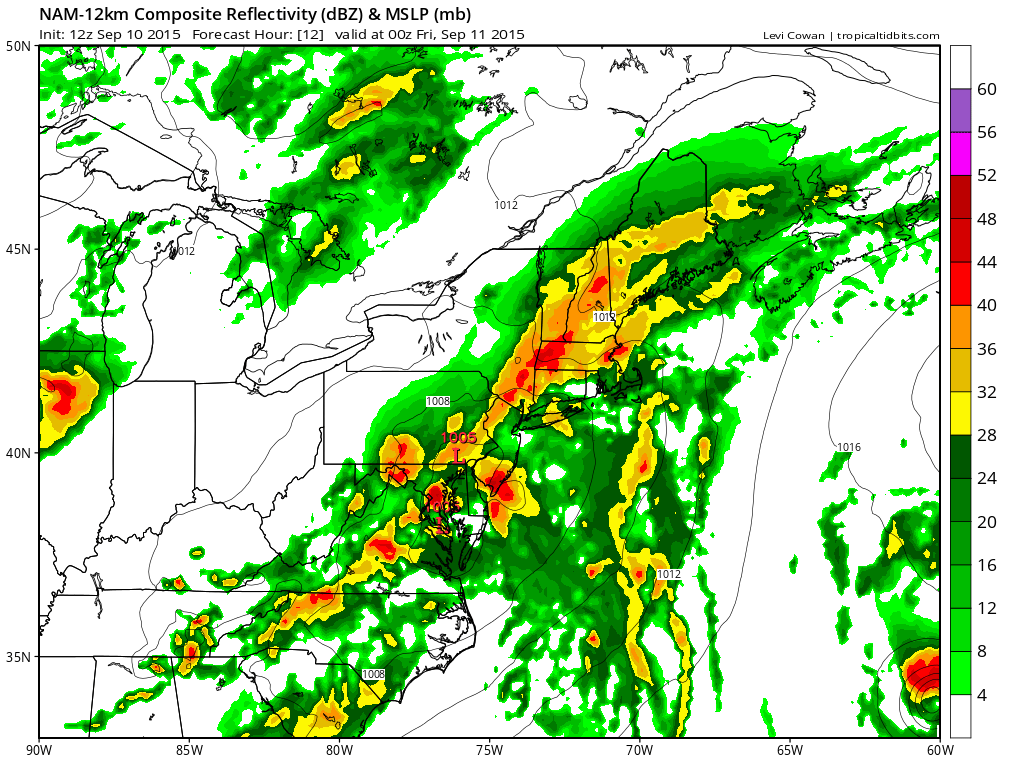
Trying to zero in on the exact locations that the nam produces heavy rains is always a tough task but it is sufficently wide spread to expect that another couple of inches of rain on top of what fell last night and early this morning. We have a stalled front. Good tropical forcing is occuring bringing in lots of moisture. Everything seems in place for a soaking rain and the radar is building up pretty rapidly as well. You can check your local loops on the forecast pages on the menu above and pick your zone.
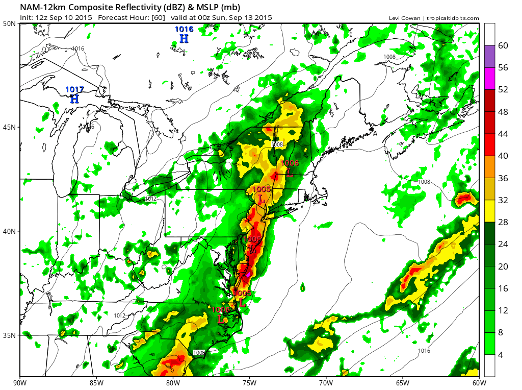
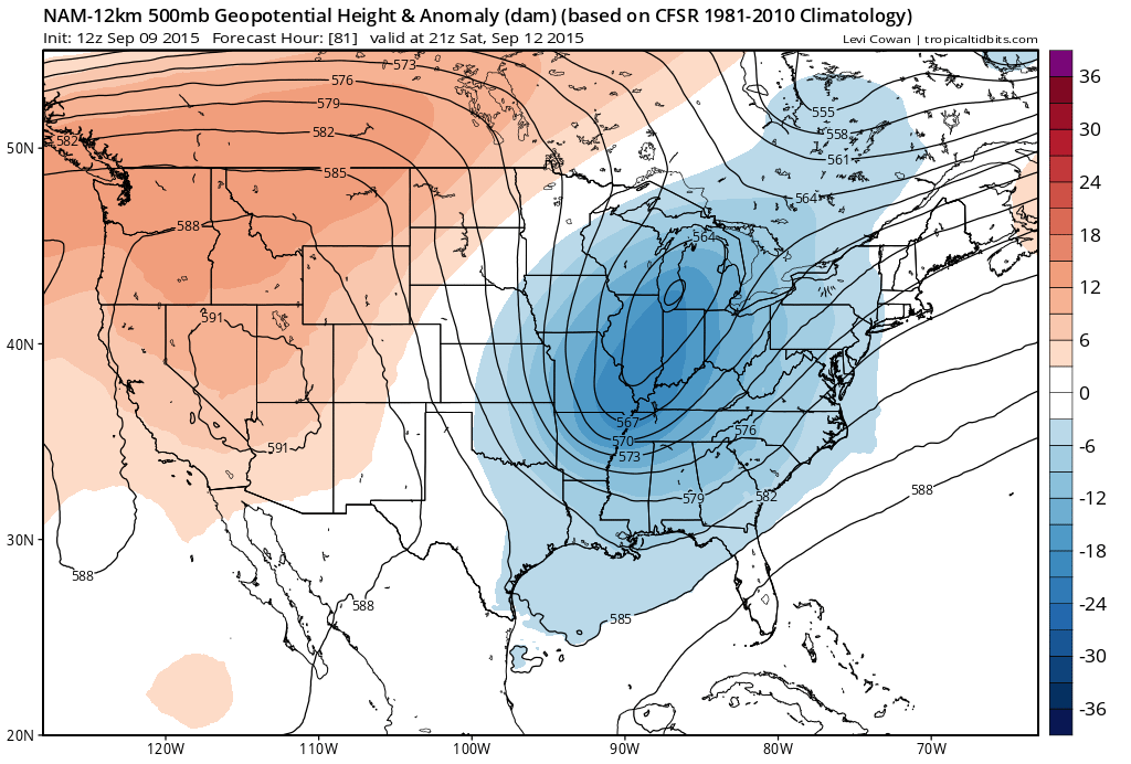
Now with regards to Saturday. It appears rain will be arriving Saturday afternoon in response to a very strong digging upper trough to our west. This has the potential to produce some sizable rains for somebody.
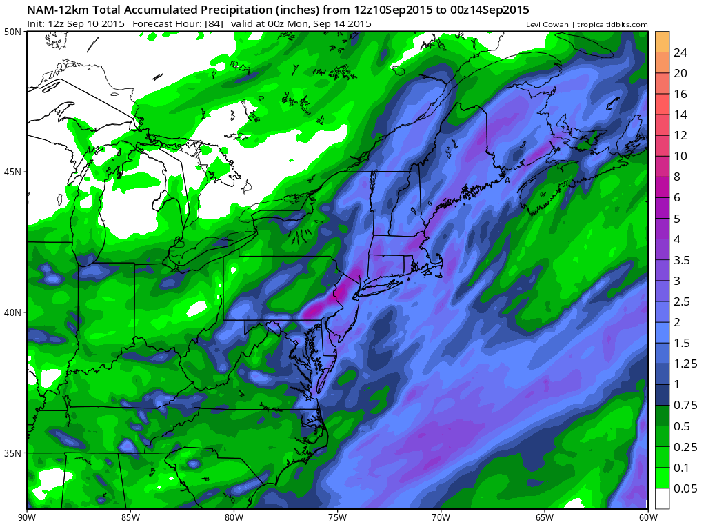
The Nam rainfall map below shows the total rains the nam produces throughout the 4 day period and it has everyone is a solid 2 to 3 inches of rain at least with the bright purple indicating 6 inches plus. This may not necessarily be overdone but will depend on what falls in the first round later today.