Nam Model Shifts Northward
MENTION JOE CIOFFI AND GET A 5% DISCOUNT
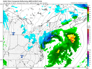
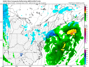
We are getting run to run shifts and we need to be alert to the fact that there will be more run to run shifts over the next 2 days. Tonight’s NAM model run shifts northward along the coast and brings wet snow and rain to New York City and Southern New England. Now we really need to be very careful here from a forecast standpoint. The NAM model was colder on this run as well and produced more wet snow than prior runs. However bear in mind this is a spring storm and not a winter storm. Spring storms behave differently. Not only do we have the be cautious on what it shows but also by what the model doesn’t show.
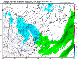
Nam Model Shifts Northward Surface Maps Late Saturday Afternoon & Evening
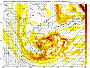
The NAM hugs the surface low near the coast and it also produces some rather heavy wet snow shown in the dark blue. The model brings the cold core of air with the upper low virtually right over head over New York City. By doing this it is bringing the coldest pocket of the cold air aloft right over the coastal areas. This is a key element this time of year in the equation. If the upper low tracks in this fashion there will be an opportunity for significant dynamic cooling to occur. A solid band of precipitation could develop near the upper low track. However if this shifts in either direction it would change the outcome significantly.
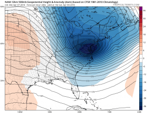
Nam Model Shifts Northward Upper Air Late Saturday Afternoon
The NAM model is also much deeper at the 500 mb level or about 18000 ft level with the entire upper feature. The GFS model tonight matches up very well with the NAM model with this idea.
Nam Model Shifts Northward Vs GFS Model Upper Air
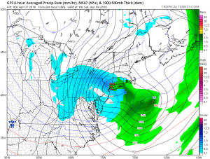
The GFS however has a different way of treating the surface low as it moves it into Southeastern Pennsylvania and then right over New York City which effectively shuts out the coast of any snow and shifts it further inland.
Nam Model Shifts Northward
GFS Model Surface Maps Saturday Afternoon & Evening

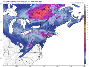
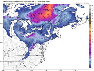
A literal translation of the GF would bring the axis of heavy snow over Northern New Jersey, the Hudson Valley and through Connecticut and Southern New England with lesser amounts (if any) south and west of there. In fact the GFS produces 10 inch plus heavy wet snows in some of those areas. The NAM model produces far less snow in a narrow area further south.
GFS & NAM MODEL SNOWFALL FORECAST MAPS

So what we are left with here are a stream of endless possibilities inside a 72 hour time frame with much more run volatility to go. Both models take the same upper lows on similar tracks and yet have completely different outcomes from this system. We of course now need to wait for the European which until now has been pretty much lock step with the NAM model. The GFS just a few runs ago had a completly out to sea solution.
The key will ultimately be how does the upper low track and where is the surface low going to be in all this. The GFS model has the surface low northwest of the upper low position and track which seems a bit odd and arguably wrong. The NAM model position seems to make more sense. There are simply too many variables at this point to determine anything specific in a forecast other than to say that there will be an area of heavy wet snow for somebody around here. We just don’t know at this time who it is.
FiOS1 News Weather Forecast For Long Island
FiOS1 News Weather Forecast For New Jersey
FiOS1 News Weather Forecast For Hudson Valley
NATIONAL WEATHER SERVICE SNOW FORECASTS
LATEST JOESTRADAMUS ON THE LONG RANGE
NOMINATED FOR AN APPY AWARD FOR BEST WEATHER APP!!
Weather App
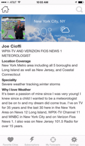
Don’t be without Meteorologist Joe Cioffi’s weather app. It is really a meteorologist app because you get my forecasts and my analysis and not some automated computer generated forecast based on the GFS model. This is why your app forecast changes every 6 hours. It is model driven with no human input at all. It gives you an icon, a temperature and no insight whatsoever.
It is a complete weather app to suit your forecast needs. All the weather information you need is right on your phone. Android or I-phone, use it to keep track of all the latest weather information and forecasts. This weather app is also free of advertising so you don’t have to worry about security issues with your device. An accurate forecast and no worries that your device is being compromised.
Use it in conjunction with my website and my facebook and twitter and you have complete weather coverage of all the latest weather and the long range outlook. The website has been redone and upgraded. Its easy to use and everything is archived so you can see how well Joe does or doesn’t do when it comes to forecasts and outlooks.
Just click on the google play button or the apple store button on the sidebar for my app which is on My Weather Concierge. Download the app for free. Subscribe to my forecasts on an ad free environment for just 99 cents a month.
Get my forecasts in the palm of your hand for less than the cost of a cup of Joe!


