Long Island Weather Forecast
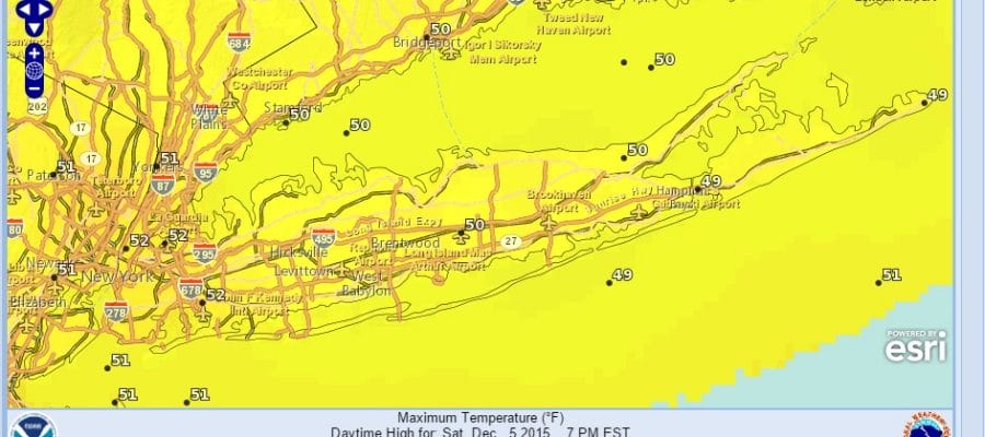
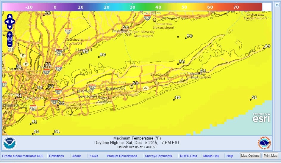
We begin our weekend with plenty of sunshine and a beautiful day is underway. No issues and no worries for the weekend with highs reaching 50 or better this afternoon. Looks like the kind of day where even a cloud in the sky will be a rare passing event. It is a great day to do what ever you want to do, indoors or outdoors. No worries either way. Enjoy!
Not much happening on the satellite loop this morning with much of the activity well offshore and to the northeast while the system well out to the west in the Plains is the next upper air disturbance that won’t get to us until Monday night and Tuesday as low pressure will probably develop off the southeast coast. Most models keep this system weak. The clouds off the southeast coast now will develop into a lead wave and therefore the next weather system will have much less to work on. Some rain could clip the coast on Tuesday but if it does, it appears that the bulk will pass to the east.


Radar is quiet today everywhere in the east and will remain so tonight. Skies will be clear tonight. Lows will be in the chilly 30s. With light winds and clear skies some cold spots will be down close to 30. Sunday we will see sunshine again with highs in a range of 50 to 55. Monday high pressure shifts northward into New England which will make it a little bit cooler with a north wind. But we should still see plenty of sunshine.
It doesn’t look like we will have any major weather events on Long Island in the week ahead.
JOESTRADAMUS SATURDAY MORNING FORECAST ANALYSIS
SNOW CONTINUES IN THE WEST BUT IS LACKING IN THE EAST OVER THE NEXT 10 DAYS…SKIING OUTLOOK
UPDATED WINTER FORECAST FOR 2015-2016