Long Island Severe Weather Risks Elsa Could Pass Close By Thursday Night

Weather in 5/Joe & Joe Weather Show Latest Podcast
Long Island Severe Weather Risks Elsa Could Pass Close By Thursday Night
The furnace is on as temperatures rise into the upper 80s and lower 90s this afternoon. Dew points have taken off as well as they rise into the lower 70s. Now lets add an approaching upper trough from the northwest and you have the ingredients for severe weather.

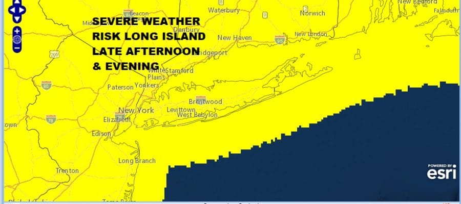
Up until now we have seen most thunderstorm threats fizzle out before reaching Long Island and for good reason. The cold ocean stabilizes the atmosphere with a south wind. However water temperatures have risen above 70 degrees so that mitigates the ocean effect. Then you have this trough coming in under a northwest flow in the atmosphere and that tends to create extra lift when storms reach the coast. We expect Long Island to see thunderstorms that hold together this time around. This is the first time all season Long Island has been under a slight risk for the entire island including the East End. Strong gust winds over 50 knots are possible and there is a slight chance for hail.
SATELLITE

Radars are beginning to pick up the first developing cells in upstate NY at midday and we will probably see a broken line of thunderstorms develop and move southeast later this afternoon. The risk time for thunderstorms looks to be between 4pm and 8pm.
WEATHER RADAR


Once thunderstorms are done we will have leftover clouds with lows in the upper 60s to lower 70s. Another hot and humid day sets up for Wednesday with sunshine taking highs to the upper 80s and lower 90s. Again we could see the chance for strong thunderstorms late in the day. Another upper trough and cold front will be approaching. That front will get hung up to the west and will have to wait until Thursday night before it starts to move to the east.

This sets up an opportunity for whatever is left of Tropical Storm Elsa to move up the coast. The new GFS model run is showing a weaker feature representing Elsa and exiting off the Mid Atlantic coast. It will all be about timing with the front to the west trying to push east and Elsa straddling along it. If Elsa does make it here it will mean rain and some gusty winds but nothing that can’t be managed. It will be about 6 to 8 hours worth later Thursday night into Friday morning. If Elsa were tracking inland of the coast putting us in a south wind. and if there were a strong upper trough causing it to maintain an identity (think Isaias last year) then I would be more concerned about this. For now we get some rain and perhaps an inch or 2 is possible if it is close to the coast, and the weather conditions improve later Friday and into the weekend.
BE SURE TO DOWNLOAD THE FREE METEOROLOGIST JOE CIOFFI WEATHER APP &
ANGRY BEN’S FREE WEATHER APP “THE ANGRY WEATHERMAN!

MANY THANKS TO TROPICAL TIDBITS & F5 WEATHER FOR THE USE OF MAPS
Please note that with regards to any severe weather, tropical storms, or hurricanes, should a storm be threatening, please consult your local National Weather Service office or your local government officials about what action you should be taking to protect life and property.