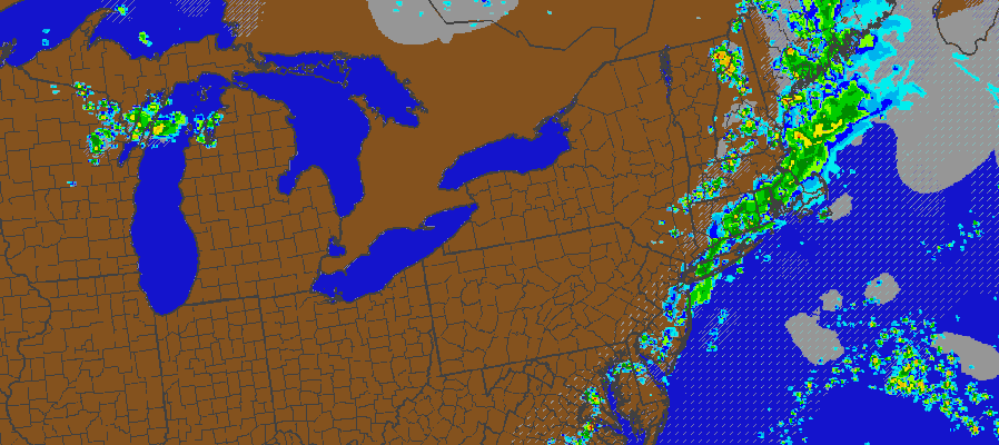
This is the last day of humidity and in some cases heat. A couple of factors will play into keep temperatures a little lower today for New York City and areas along the coast and that is a south wind. That wind will be on the strong and gusty side at times especially if you are headed for the shore. The main threat for thunderstorms for western areas of New Jersey will be for late this afternoon (around 3pm) New York City (around 6pm) and points east after 6pm. Some of these storms could be strong or perhaps close to severe levels and there is a marginal risk of severe thunderstorms today indicated by the Storm Prediction Center.
Beyond tonight, once the storms exit we have at least 2 and possibly 3 days of sunshine and comfortable humidity although temperatures will be very warm through the period with highs each day in the upper 80s to around 90. However humidity levels will be low at least through Saturday and possibly through Sunday. The first weekend in August will make 3 very good beach weekends in a row.
Longer term there is a cold front coming for Tuesday that will begin a period of cooler than normal temperatures for the later part of next week and possibly longer.