Labor Day Sunshine Week Ahead Warm Humid Into Thursday Front Stalls Friday Weekend
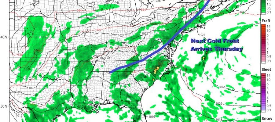
Today makes it 3 for 3 for the holiday weekend with lots of sunshine from Southern New England down to Virginia. We do however see lots of clouds to the north and west and this is due to an approaching cold front. The front itself will die in Western NY and Western Pennsylvania where we are seeing some showers and thunderstorms on the radar. Those showers will fall apart as they move east and we won’t see a thing from it. So it is a nice day of reasonable humidity and highs in the upper 70s and lower 80s. It will be an excellent finish to a perfect week.
SATELLITE

REGIONAL RADAR

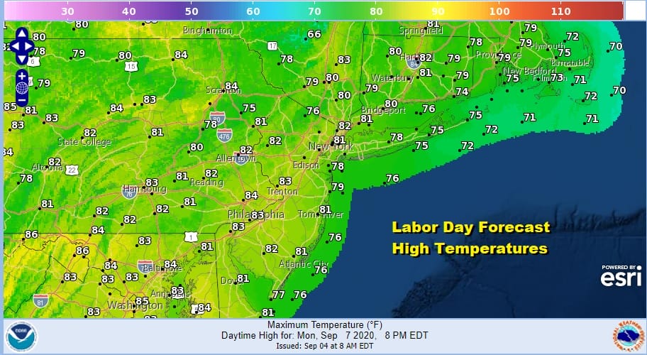
Our weather will continue relatively uneventful into Thursday as it slowly turns more humid. The flow will be from the east and southeast thanks to high pressure east of New England. It gets warm but not overly warm. It turns humid but not enough to trigger anything more than a shower or thunderstorm. Highs will reach into the 80s Tuesday and low to mid 80s Wednesday and Thursday.
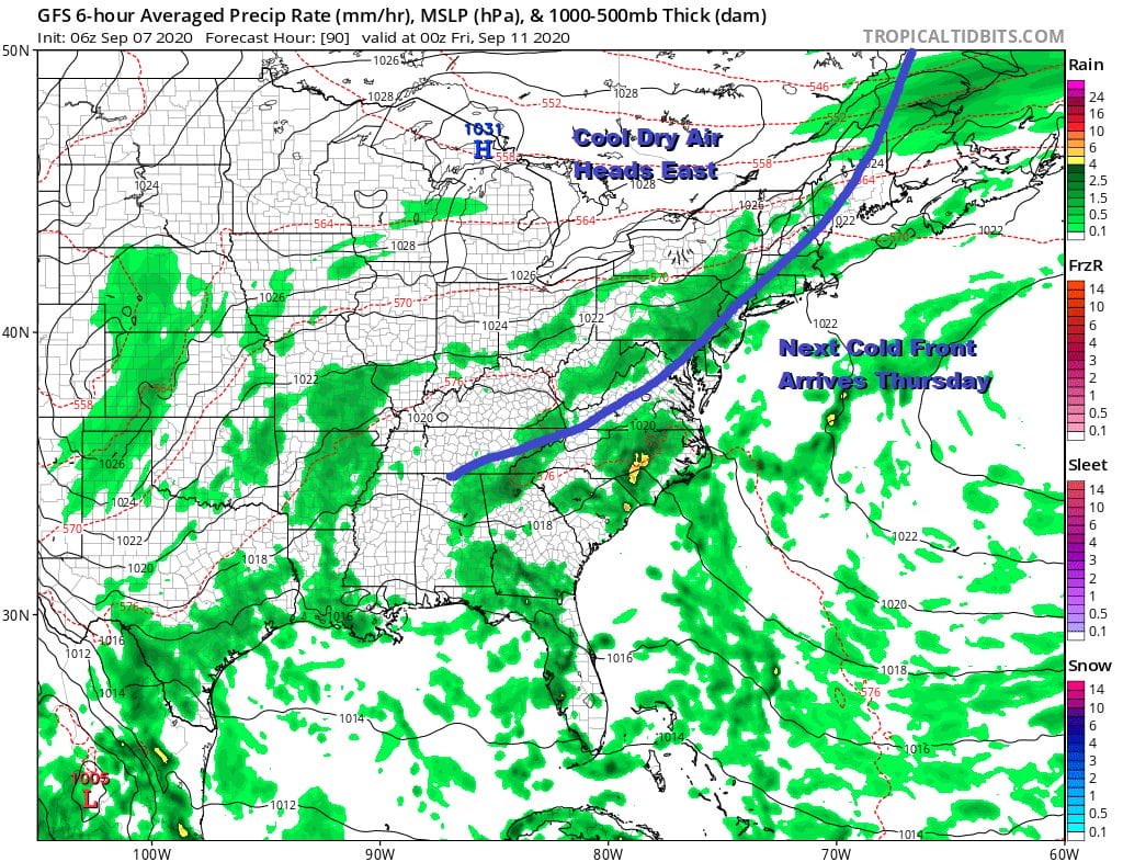
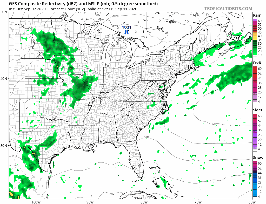
We will see the front pass to our south and stall as the high in the Great Lakes builds into New England. This will probably bring some drier air into the area on Friday and Saturday before a stronger cold front arrives on Sunday. We will see temperatures in the 70s Friday and Saturday with clouds and some sun both days. Showers and thunderstorms could be an issue next Sunday.
One wild card in the longer range is disturbed weather in the Subtropical Atlantic south of Bermuda that is moving westward. The high to the north is creating lower than normal pressures east of Florida and the Southeast coast and it is possible that something tropical could develop off the Southeast US coast. For now we rate this a long shot chance but there is a chance there especially this hurricane season where it seems everything tries to spin up into a tropical storm. We will explore this in a tropical post later today.
BE SURE TO DOWNLOAD THE FREE METEOROLOGIST JOE CIOFFI WEATHER APP &
ANGRY BEN’S FREE WEATHER APP “THE ANGRY WEATHERMAN!
MANY THANKS TO TROPICAL TIDBITS FOR THE USE OF MAPS
Please note that with regards to any severe weather, tropical storms, or hurricanes, should a storm be threatening, please consult your local National Weather Service office or your local government officials about what action you should be taking to protect life and property.


