
To be honest JOESTRADAMUS thinks the long range pattern remains in some sort of transition and it looks like it wants to go to a cooler look but not very overly eventful one when it comes to storms though I would caution that specifics here seem pointless from run to run since some runs seem to want to make more of certain troughs then others. Still it is a pattern that has some ridging in the west and some troughing in the east and if that is the case then we are talking about cooler than normal temps for the second half of October but not exceptionally cool by any means..maybe a little bit below or close to normal on the temps. That would at least bring things in line with what is considered seasonal.
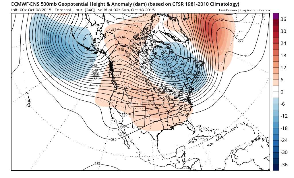
At least the troughing in the east seems to be holding through the forecast period as there is some sort of blocking east of Greenland with an upper high while a strong cut off low sits off the coast of Southern Europe. In the west we have a deep low in the Gulf of Alaska that does its job to try and producing ridging in the west but it is not exactly building like crazy into northwest Canada.
Joestradamus will say however that such a look can wind up producing something of consequence if you have a potent enough system to move along in the flow. But as always with these things at this stage it is all rather speculative. The strong ridge in the east which was the signature look of September seems to be gone. The question is whether something like this is transitory for a week or 2 or something that is going to be more long lasting.
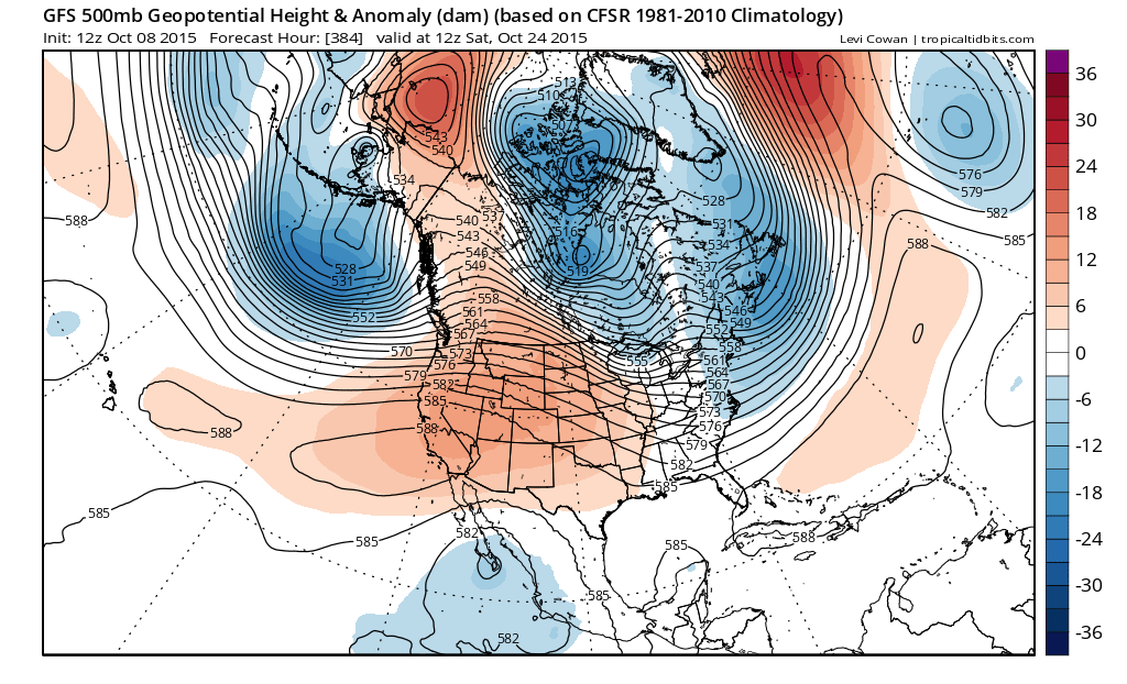
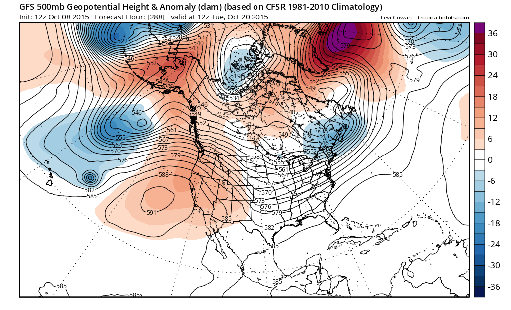
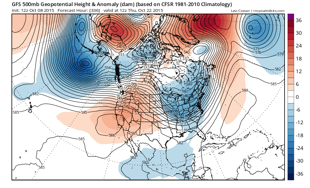
You still have sort of the same idea holding by day 16. Again it is pointless to get worked up over anything regarding specifics. It just seems that we are in a period now where there will be weather changes very 3 or 4 days with fronts coming through. There are no signs of anything out of the ordinary through day 10..and then after that it is the usual model nonsense. There are a few chances for rain or showers but again nothing extraordinary. I suppose one wild card would be whether something from the tropics would get involved since we are still in a month that historically has produced one or two tropical storms. Right now the tropics are quiet. I don’t think we will go into another 16 day stretch of no rain. That prospect is not too likely if this pattern holds.
Earlier today Joestradamus took a look at Siberian snow cover growth and the forecast for rapid snow cover expansion over the next 10 days. It could have long term implications on our winter.
Be sure to download my app and subscribe to my forecasts. The app is free and a subscription is just 99 cents a month or less than 1 cup of coffee! The app is free of web ads and there are no security or tracking issues.