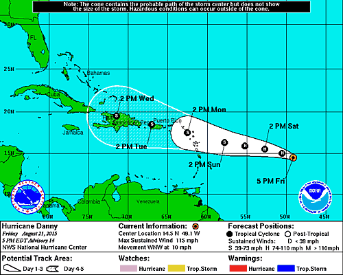
…DANNY LIKELY AT PEAK INTENSITY…
…FORECAST TO WEAKEN STARTING TONIGHT…
SUMMARY OF 500 PM AST…2100 UTC…INFORMATION
———————————————-
LOCATION…14.5N 49.1W
ABOUT 860 MI…1390 KM E OF THE LEEWARD ISLANDS
MAXIMUM SUSTAINED WINDS…115 MPH…185 KM/H
PRESENT MOVEMENT…WNW OR 295 DEGREES AT 10 MPH…17 KM/H
MINIMUM CENTRAL PRESSURE…974 MB…28.77 INCHES
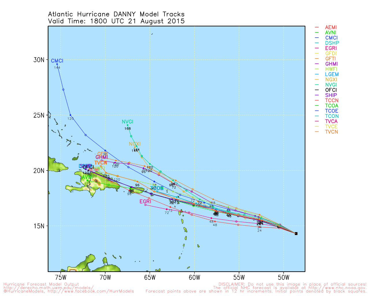
Based on the satellite loop above which by the way is fresh and new if you visit this page later, you can see that Danny may be past peak intensity as the eye has filled in. Also look out to the west and you can see the low level easterlies pushing clouds east and high level southerwesterly winds pushing higher clouds northeast. That is the area of wind shear which the hurricane will be entering and since that shear has not relaxed, it is likely that Danny is going to being to weaken somewhat as it encounters that stronger wind shear.