
Hurricane Chris Waves Rip Currents Heading Northeast
Hurricane Chris Waves Rip Currents Heading Northeast
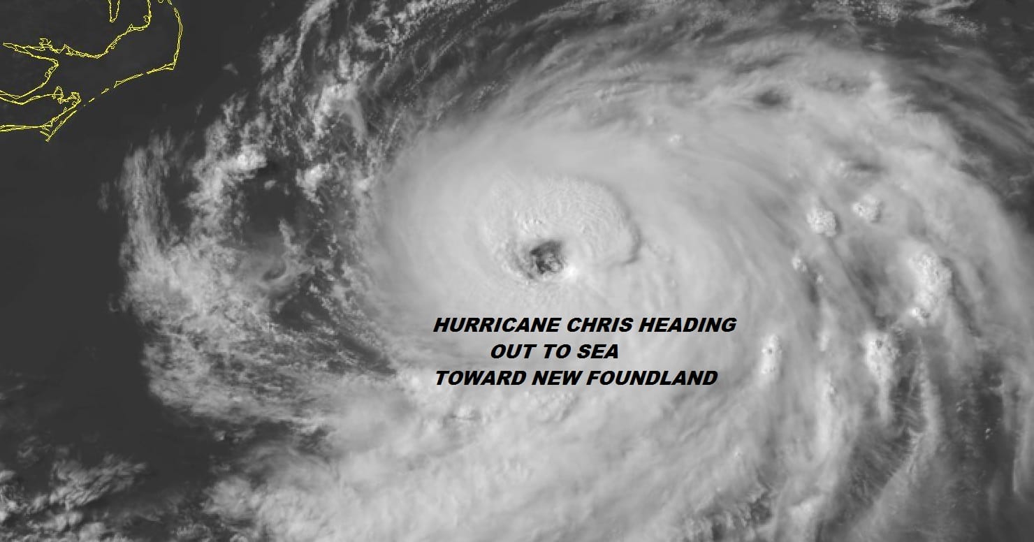
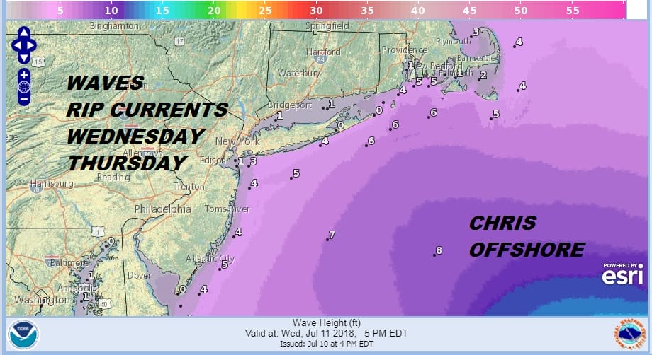
Chris strengthened rapidly today as it began its move to the northeast. Top winds are now 85 mph and Chris has developed a rather large eye. Some further strengthening is possible overnight into Wednesday before Chris starts to run in to colder water north of 35 degrees north. Hurricane Chris will pass far offshore by several hundred miles but rip currents and waves will be an issue for the New Jersey shore and the Long Island south shore.
Hurricane Chris will pass south and east of Nova Scotia by a comfortable margin but it will pass very close to Eastern New Foundland later Thursday and then continue east northeast across the Atlantic.
WIDE ATLANTIC TROPICAL SATELLITE

WESTERN ATLANTIC TROPICAL SATELLITE

To the south of Hurricane Chris are the remnants of Hurricane Beryl as they move northward toward the Bahamas. You can see on the satellite loop above the expanding outflow from Hurricane Chris is creating strong winds aloft which is preventing Beryl from regenerating at least for now. However as Hurricane Chris moves away to the northeast and accelerates, upper air winds will likely weaken and conditions could become more conducive for development late this week. In the meantime for us the cold front moves offshore tonight and another dry air mass moves in for the second half of the week with sunshine, warm temperatures and reasonably low humidity.
With regards to any tropical system please consult your local National Weather Service office which you can find at weather.gov and heed the advise of your local government officials when making decisions to protect life and property.
FiOS1 News Weather Forecast For Long Island
FiOS1 News Weather Forecast For New Jersey
FiOS1 News Weather Forecast For Hudson Valley