Hot Humid Tuesday Scattered Thunderstorms Isolated Severe Storms Possible
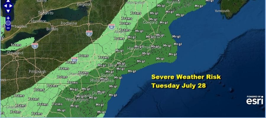
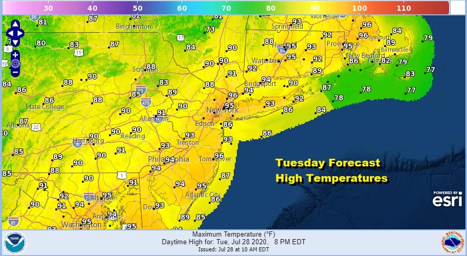
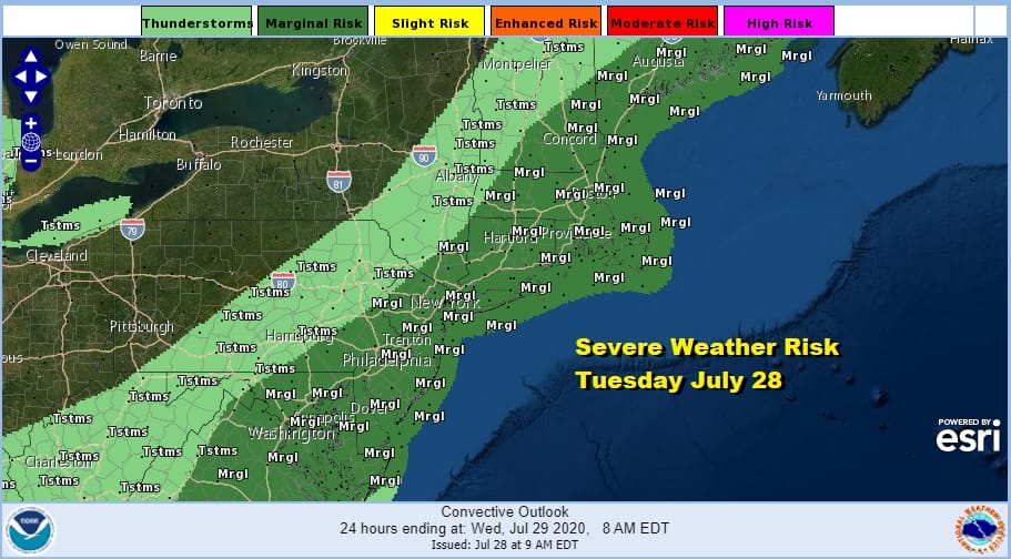
We have another very hot humid day across the area from Eastern Pennsylvania to Southern New England. Sunshine is taking highs up to the low to mid 90s this afternoon. Dew points are in the upper 60s to lower 70s which means a lot of tropical air around. Now let’s add an approaching cold front with a weak upper air trough and you have the risk for severe weather this afternoon.
Even through there is a marginal risk, we don’t expect widespread thunderstorm activity this afternoon. Rather we are looking at some scattered thunderstorms popping up and one or two of those cells will become severe. Enjoy the day especially if you can get to the beach or pool but keep a side eye to the sky late this afternoon and evening. Not everyone will see thunderstorms today. Clouds to the west on the satellite are with the cold front and they are moving eastward.
SATELLITE
REGIONAL RADAR
So far on the regional radar we are seeing scattered thunderstorms well inland and north. Activity in Northern New England looks a bit more robust. The local radars are picking up a few scattered cells at midday. We will see a few more going into this evening.
LOCAL RADAR NEW YORK CITY
LOCAL RADAR PHILADELPHIA

The push of air behind the front is not much cooler plus the front will get hung up just offshore tonight so coastal areas of New Jersey and Long Island could see another shower or thunderstorm overnight with most lows in the upper 60s to mid 70s.
There is a little dew point relief for Wednesday and Thursday but it will still be very warm to hot for the next two days as highs reach the upper 80s and lower 90s. It will take another front for greater relief to come in on Friday. Look for some sun Wednesday with some scattered thunderstorms well inland. Thursday the NAM model shows a cold front pushing through late in the day with perhaps a greater chance for thunderstorms.
This front pushes south to the Carolinas and that allows high pressure to build in from the Great Lakes for Friday and Saturday. We should see significantly lower dew points and some sunshine. Highs will be in the 80s both days. South of that frontal boundary on the lower right of the GFS loop there is a tropical system, possibly a tropical storm moving northwestward into the Bahamas. The system weakens as it approaches Florida because it seems to be interacting with the frontal boundary to the north. While that seems possible, it is also not a certainty that any tropical system will weaken as it moves northwestward. Storms rarely weaken in this area but it does make for a rather complicated forecast for later in the weekend and for next week. The National Hurricane Center has indicated that a system east of the Leeward Islands could become a tropical storm later today or tonight and we will address that in separate post.
BE SURE TO DOWNLOAD THE FREE METEOROLOGIST JOE CIOFFI WEATHER APP &
ANGRY BEN’S FREE WEATHER APP “THE ANGRY WEATHERMAN!
MANY THANKS TO TROPICAL TIDBITS FOR THE USE OF MAPS
Please note that with regards to any severe weather, tropical storms, or hurricanes, should a storm be threatening, please consult your local National Weather Service office or your local government officials about what action you should be taking to protect life and property.


