
GFS Model Weakens Rain As It Moves East
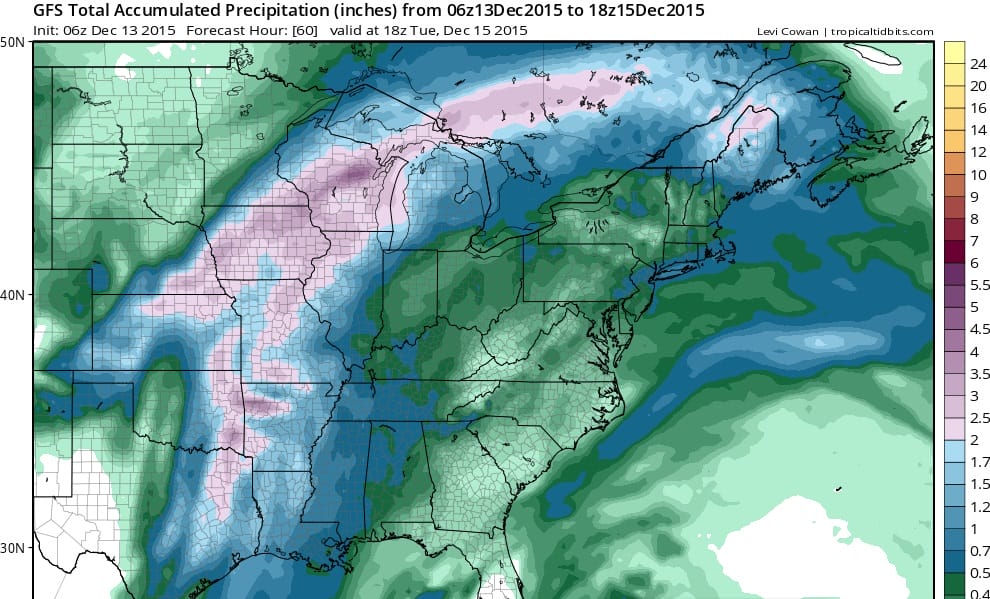
The next weather front which has been kept at bay all week is finally making eastward progress. However like so many fronts before it, it runs into this overpowering strong ridge in the east and weakens over time. The GFS model and others have grown less bullish on rainfall for Monday into Monday evening. The lead areas weakens which leaves us with whatever is close to the front. The model has weakened the overall area of rain totals and while it has an area of about an inch, it has shrunk to almost nothing.
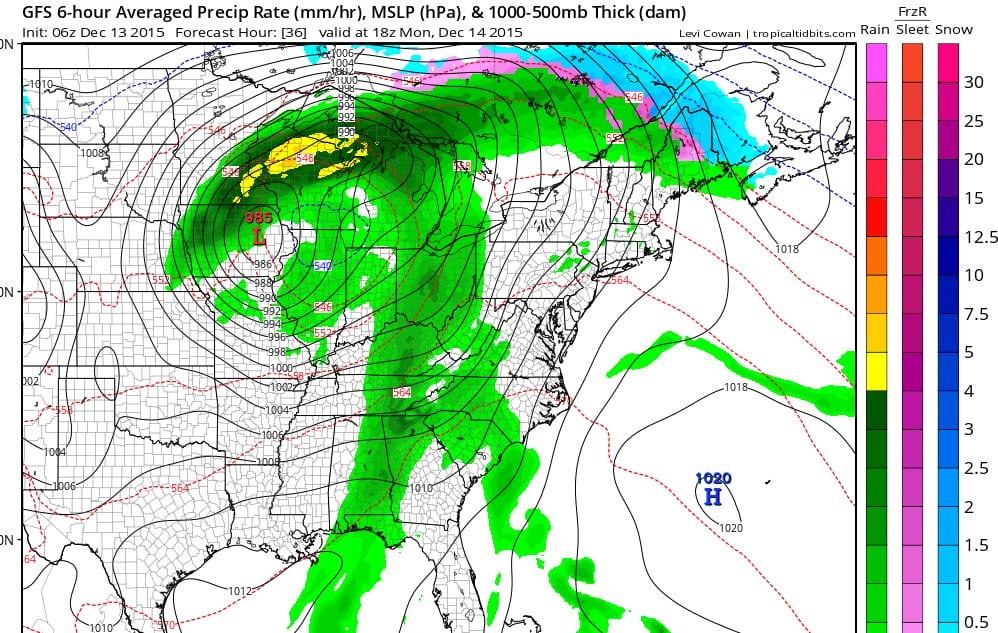
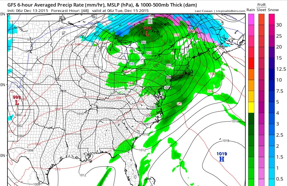
Low pressure is headed toward the Great Lakes and it is amazing really that we have such a lack of cold air anywhere at this point in the United States except for the west. It is rain all the way up to the Great Lakes and into Southern Canada! Even Maine sees a changeover to freezing rain and rain all the way up to Caribou! There is no real cold air behind this storm and we will have to wait until later in the week before we see a real shot of cold air.
For the rest of today we will see more clouds today with a developing east wind as a front sets up to our south. It is sort of a backdoor front as the developing low to the west begins to turn winds along the coast. Gradually we will go to a gusty south wind later Monday into Monday evening and advisories are likely to be posted for the coastal waters. More on the long range out look later today as JOESTRADAMUS takes a bit of a break this morning to do some Advent things.
JOESTRADAMUS VIDEO ANALYSIS ON THE LONG RANGE
NEW YORK CITY & HUDSON VALLEY FORECAST


