
GFS LONG RANGE EUROPEAN LONG RANGE AGREE!

Today’s runs of the GFS long range and the European long range are finally coming into line. The European has now lost the idea that the first low moving off the southeast coast of the United States will be tucked in closer to the coast but instead will be further east. This is important because it was that low that was essentially getting in the way of a very intense upper air disturbance that is dropping from the Great Lakes and heading into the Ohio Valley. The models now concur that it is Tuesday and Tuesday night that we are at risk for another winter storm along the east coast.
GFS LONG RANGE EUROPEAN LONG RANGE AGREE! MODELS AT DAY 5

Both models are similar at day 5 with this strong upper feature and all the energy will be focused on the Virginia coast where a storm is going to form at the surface and intensify. All of this would a no brainer major winter storm for the northeast however there are some issues and for this we go back to the first low that moves off the east coast on Sunday. What that storm does it that it takes moisture and energy away from the coast for a time and gives the next system less to work with. At least that is the picture we see right now. This might mean we see a storm that forms but has a tough time generating precipitation north of the low center.
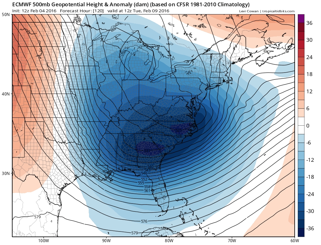
GFS LONG RANGE EUROPEAN LONG RANGE AGREE! SURFACE MAPS AT DAY 5


Surface maps show the differences in both models in terms of the specifics of placement and depth. Much of this will be resolved over the next few days. All sorts of timing issues still need to be worked out. For now we at least seemed to have settled that it is the second system that is important and not the first. Now it will be a matter of how deep and how dynamic all this will be. It appears that we will be getting some snow from this in most of the area. The air should be cold enough. High pressure builds down from Quebec and holds. There is decent but not exceptional moisture inflow. Many model runs to go.
NATIONAL WEATHER SERVICE SNOW FORECASTS
LATEST JOESTRADAMUS ON THE LONG RANGE
Weather App

Winter is here! Don’t be without Meteorologist Joe Cioffi’s weather app. It is a complete weather app to suit your forecast needs. All the weather information you need is right on your phone. Android or I-phone, use it to keep track of all the latest weather information and forecasts. This weather app is also free of advertising so you don’t have to worry about security issues with your device. An accurate forecast and no worries that your device is being compromised.
Use it in conjunction with my website and my facebook and twitterand you have complete weather coverage of all the latest weather and the long range outlook. The website has been redone and upgraded. Its easy to use and everything is archived so you can see how well Joe does or doesn’t do when it comes to forecasts and outlooks.
Just click on the google play button or the apple store button on the sidebar for my app which is onMy Weather Concierge. Download the app for free. Subscribe to my forecasts on an ad free environment for just 99 cents a month.
Get my forecasts in the palm of your hand for less than the cost of a cup of Joe!

![]()