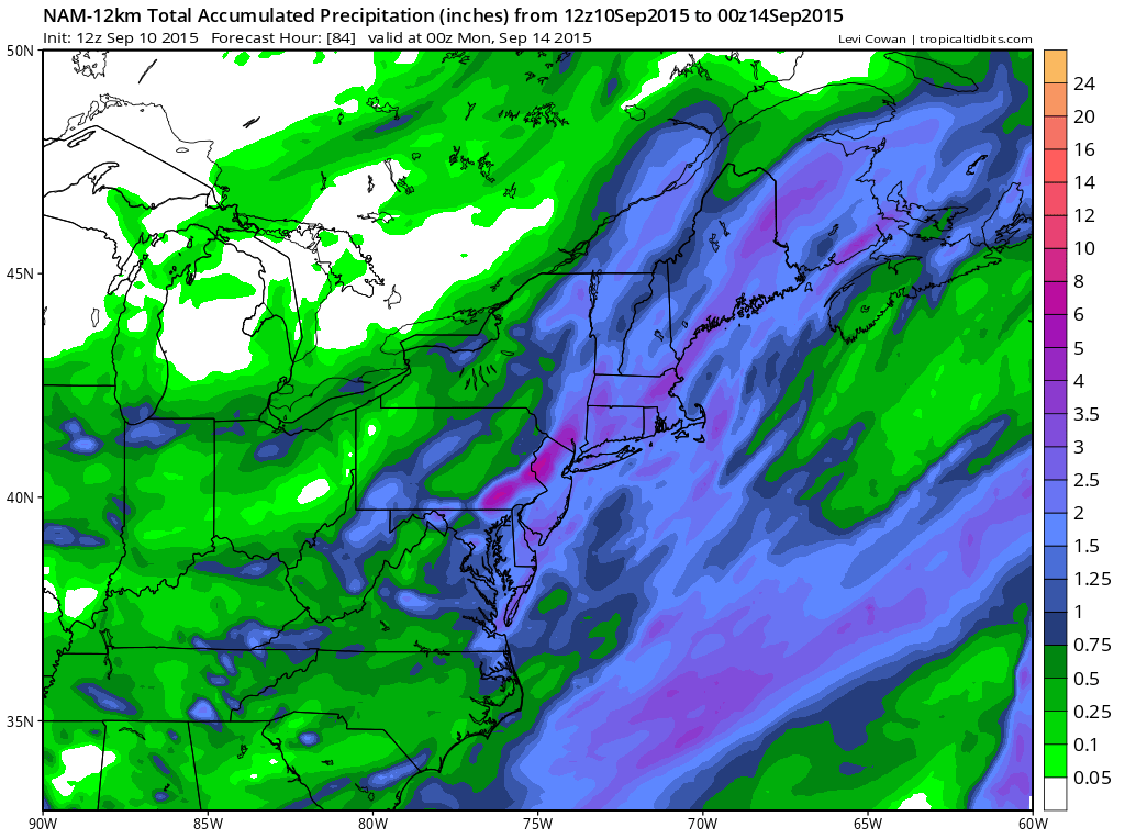
Flash Flood Watch is posted for much of Southwest New Jersey, Eastern Pennsylvania mainly south of Route 78. No watches are posted yet for New York or Connecticut though much of the area should see another couple of inches of rain with some locally higher amounts of 3 to 4 inches possible.
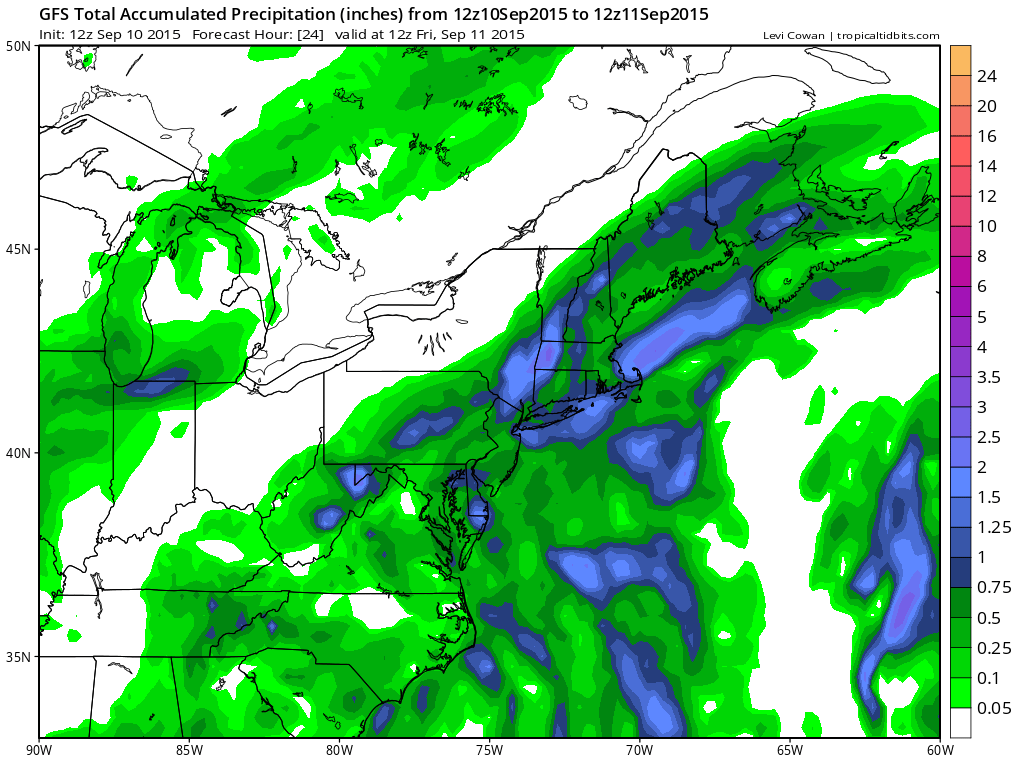
Radars this afternoon are all showing expanding rain in response to the developing wave that is forcing tropical moisture behind the stalled cold front. Some heavier thunderstorms are embedded in the rain area and it will move very slowly northeast. The Yankee game and nighttime US OPEN action is probably going to be cancelled the way things are going. Heavy rains are going to be occuring during the evening rush hour drive and spreading over eastern areas as the evening hours continue.
There have been pocket of localized flooding and there will probably be more flooding tonight as these rains move on through. It all should be done by early to mid morning from west to east Friday with perhaps some sun by afternoon. Dry weather Friday into the first part of Saturday.
A strong trough is being indicated by the models and the new European pushes another inch or so of rain through late Satuday afternoon into Sunday morning. Im thinking this could be a bit underdone as well given the strong upper support that is being shown and a strong disturbance that will be moving through Saturday night. More on this later this afternoon.