
The biggest issue regarding the weekend and the models is whether the trough along the east coast would or would not phase. Yesterday afternoon the European decided that it would be a phase and make a close call for an offshore. Other models insisted on a no phase situation and it was a matter of which model would cave to the other. Overnight the European has caved to the other models and showing an unphased look.
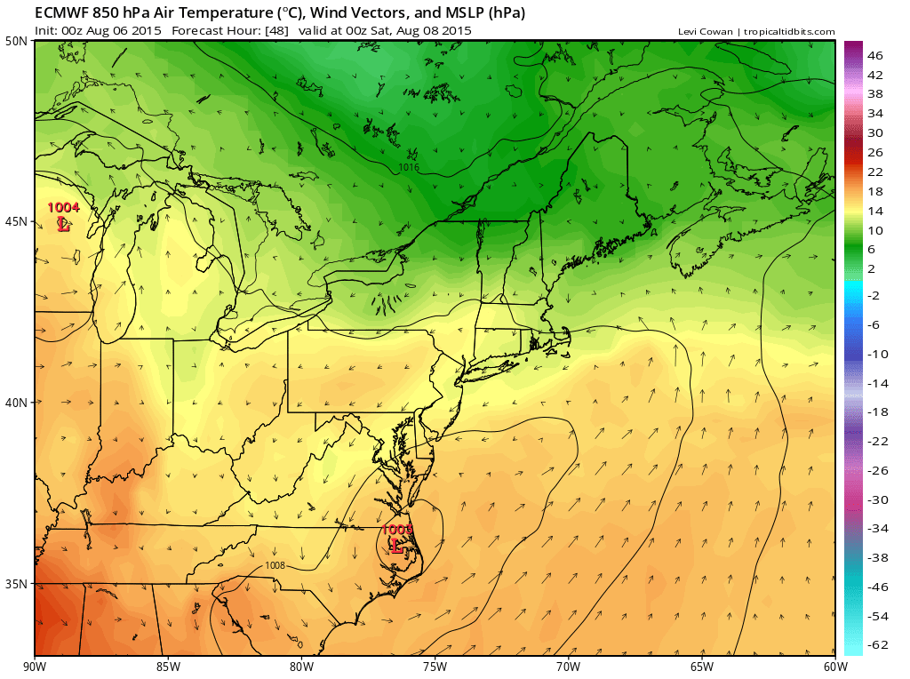
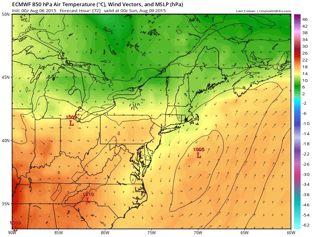
The European and the gfs both show coastal lows but with the unphased look at high levels the wave will be flatter in nature and further east. This means that rain will remain offshore with Southern New Jersey perhaps being the only area that gets into some rain for a few hours and this would be mainly for the southernmost counties later Friday night and early Saturday.

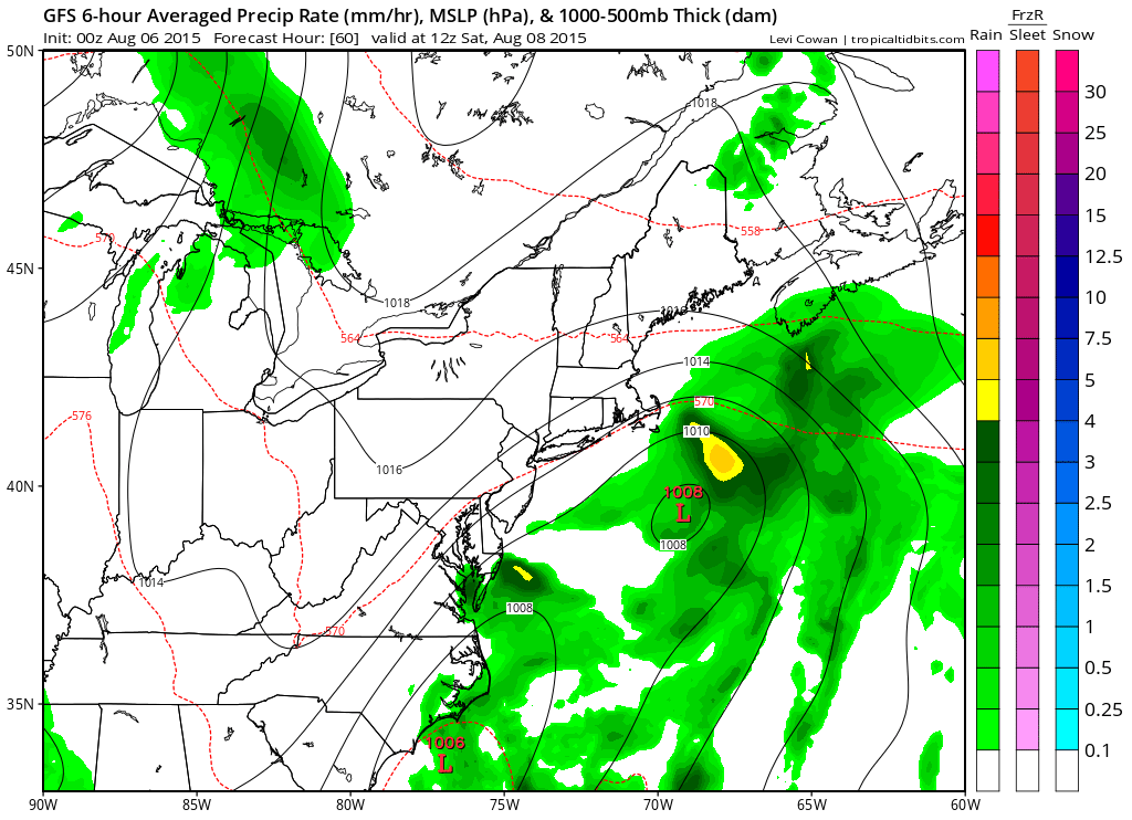
The GFS keeps the rain out of that area completely. The only issue for Saturday will be whether the northeast flow produces some clouds and this seems to be possible but the further north and west away from the coast the more sunshine you will see. Sunday looks to be an issue free day with sunshine so for much of the area it is quite possible that this will be the 5th nice weekend in a row….barring a last minute surprise by models later today which I am not expecting.
Many thanks to Tropical Tidbits for the wonderful maps!