Downpours Moving Eastward

Downpours Moving Eastward
Some Thunderstorms But Not Severe

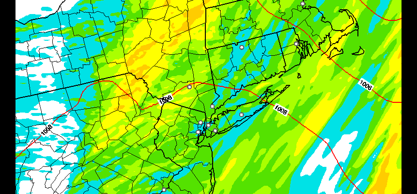
Latest satellite loop shows the large upper air vortex spinning away northwest of Lake Superior with two distinct arms coming around. The first is moving through the area now and radar shows rain with embedded heavier downpours. Some thunderstorms will likely develop in the next few hours however we do not have conditions that are favorable for severe weather. For the evening rush hour drive watch for some bursts of heavier rain until the rains finally start ending from west to east during this evening.
Downpours Moving Eastward
Radar Loops


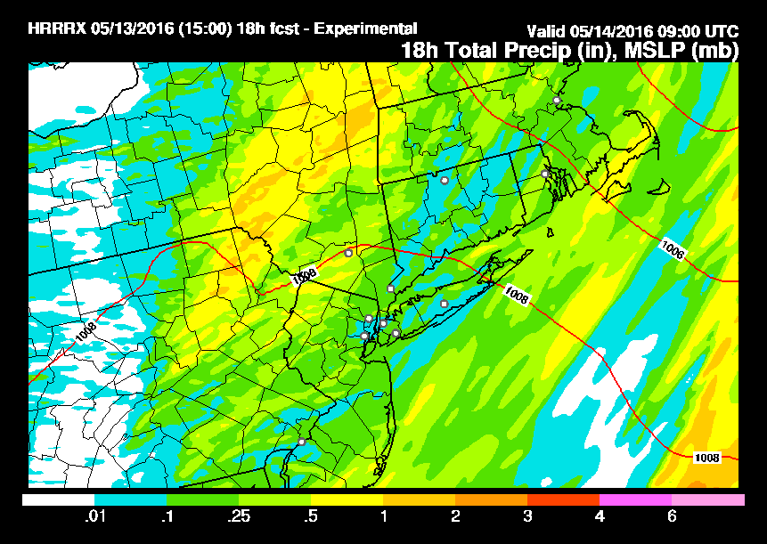
HRRR model rainfall shows 1/2 inch to 1 inch rainfall amounts in a few areas but there is a lot of variabilityfrom this so there should not be any serious issues from the heavy rain. Once the rain ends skies will clear and Saturday should begin with mostly sunny skies.
Downpours Moving Eastward
HRRR Model Total Rainfall
Much of the day Saturday actually will be quite nice before clouds come in during the mid afternoon with another round of downpours and thunderstorms Saturday evening.
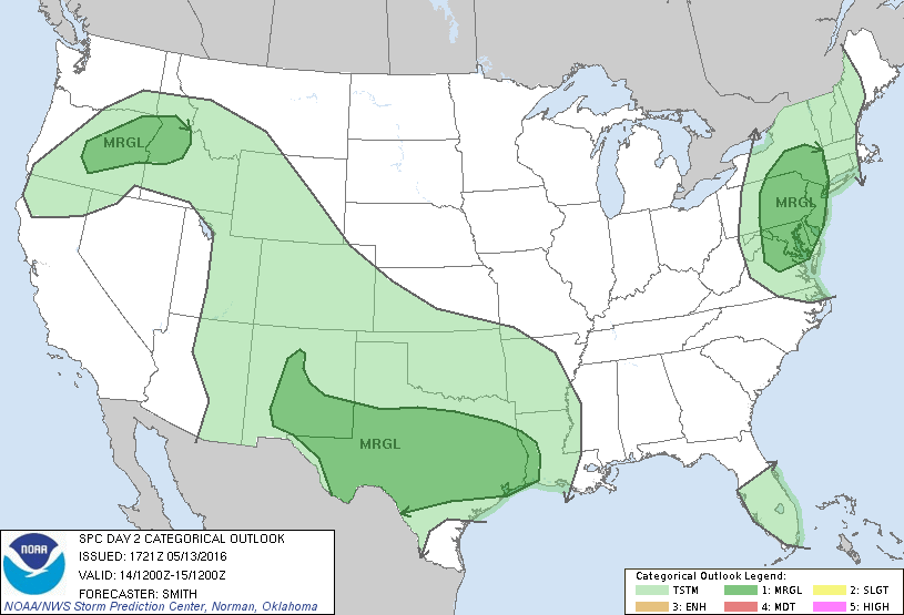
The Storm Prediction Center of the National Weather Service still is indicating a slight risk for severe thunderstorms late Saturday afternoon as the second cold front moves through. They are indicating that the unstable atmosphere and the dynamics aloft could generate some strong gusty winds when the front moves through. Looking at afternoon weather models this appears to remain the case. Very chilly air follows on Sunday with clouds and some sunshine but highs will only be in the upper 50s to lower 60s.
FiOS1 News Weather Forecast For Long Island
FiOS1 News Weather Forecast For New Jersey
FiOS1 News Weather Forecast For Hudson Valley
NATIONAL WEATHER SERVICE SNOW FORECASTS
LATEST JOESTRADAMUS ON THE LONG RANGE
Weather App

Don’t be without Meteorologist Joe Cioffi’s weather app. It is really a meteorologist app because you get my forecasts and my analysis and not some automated computer generated forecast based on the GFS model. This is why your app forecast changes every 6 hours. It is model driven with no human input at all. It gives you an icon, a temperature and no insight whatsoever.
It is a complete weather app to suit your forecast needs. All the weather information you need is right on your phone. Android or I-phone, use it to keep track of all the latest weather information and forecasts. This weather app is also free of advertising so you don’t have to worry about security issues with your device. An accurate forecast and no worries that your device is being compromised.
Use it in conjunction with my website and my facebook and twitter and you have complete weather coverage of all the latest weather and the long range outlook. The website has been redone and upgraded. Its easy to use and everything is archived so you can see how well Joe does or doesn’t do when it comes to forecasts and outlooks.
Just click on the google play button or the apple store button on the sidebar for my app which is on My Weather Concierge. Download the app for free. Subscribe to my forecasts on an ad free environment for just 99 cents a month.
Get my forecasts in the palm of your hand for less than the cost of a cup of Joe!
![]()
![]()

MENTION JOE CIOFFI AND GET A 5% DISCOUNT


