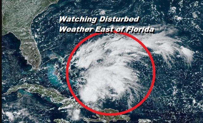
Disturbed Weather East of Florida Watching for Signs of Development
Recent satellite pictures of the disturbed weather just east of the Bahamas remains disorganized but persistent as it drifts slowly to the west. Upper air winds remain hostile for development however over the next few days as the system moves westward toward South Florida & the Florida Straits, upper air winds are forecast to relax and low pressure will likely form just to the north of the north coast of Eastern Cuba and move west northwestward.
SATELLITE

Pressures off the southeast coast are lower than normal and you will have good inflow developing from the Atlantic high that going to be anchored just to the north of this area off the Southeast US coast. This should drive any system west northwest and into the Gulf of Mexico early next week.
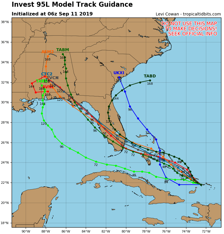
While conditions will be somewhat favorable for development, at least for now there appears to be a limited amount of room for this system to really be able to rev up. Proximity to land will be an issue and the shorter trip being indicated by hurricane models also would be an argument against this becoming anything other than a tropical depression or tropical storm.
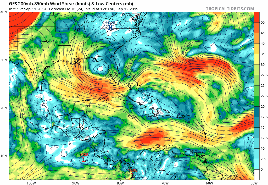
Watching the upper air winds at the start of this GIF we go from unfavorable to favorable conditions as early as Friday. An upper low in the Northeast Gulf migrates westward and an upper high builds over the area of disturbed weather as it heads over Florida. The outflow pattern that develops looks favorable enough over the weekend so it will be all about the ultimate track.
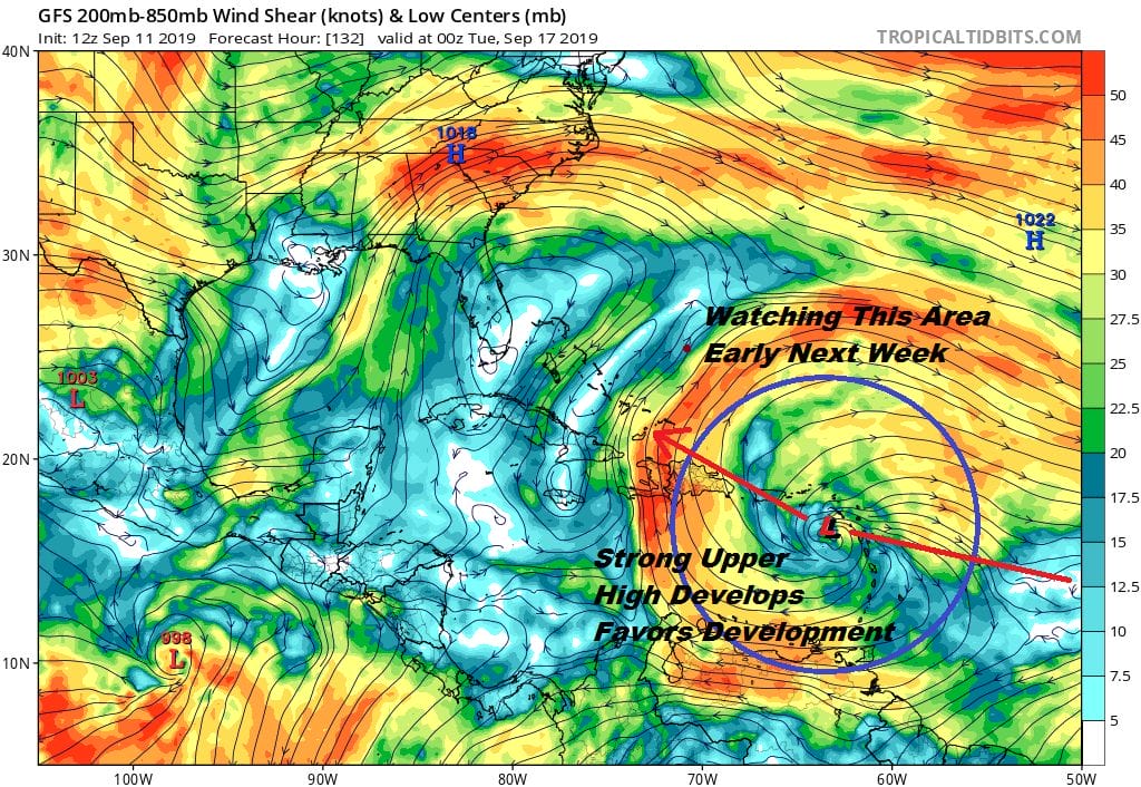
There is a tropical wave that has just moved off the African coast and will be moving westward for the next 5 days This is another system we need to watch as it approaches the Leeward Islands. Conditions there are going to become favorable for development and weather models have been picking up on this for many days now. A strong upper high building in that area will create a large light wind shear environment for a system to form. It will be a matter of that wave holding together as it moves westward into this favorable zone.
MANY THANKS TO TROPICAL TIDBITS FOR THE USE OF MAPS
Please note that with regards to any tropical storms or hurricanes, should a storm be threatening, please consult your local National Weather Service office or your local government officials about what action you should be taking to protect life and property.