
Cooler Monday Tuesday Warm Wednesday Thursday
It turned out to be a very nice day of sunshine and reasonable humidity today. A weak cold front has passed through and high pressure is building southward from the Great Lakes. We have a few clouds around but it is a nice night with just some clouds around. We are looking at a rather inactive radar and we don’t expect any rain around our area into Wednesday afternoon. Morning lows will be in the 50s with low 60s in the warmer urban areas and along the coast.
SATELLITE

REGIONAL RADAR

Monday looks to be a partly sunny day with a cool flow from the northeast. HIghs will be in the low to mid 70s with no serious weather issues. Tuesday looks good too with partly sunny skies. Temperatures will nudge a bit higher to the mid 70s to around 80. The humidity will still be on the reasonable side.

Wednesday brings a slow moving cold front with not much to work with. It will turn warmer and more humid with some sunshine and the chance for a late day scattered shower or thunderstorm. Highs will reach the low to mid 80s. That front may take its time moving through so it will still be hanging around into Thursday. Then high pressure builds in from the north setting up an onshore flow again Thursday night and Friday. Look for clouds and some sun on Thursday. Highs will again be into the 80s.
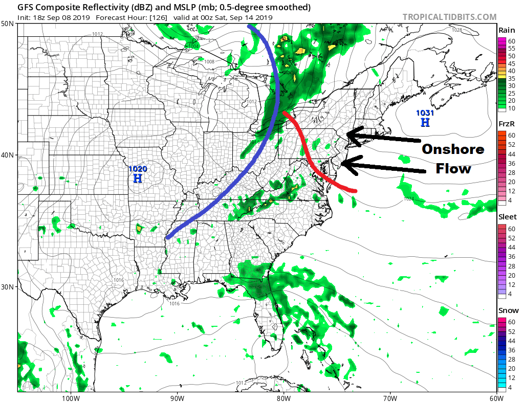
The next high quickly slides off the New England coast setting up an onshore flow again for Friday. It will be more east or southeast which means more clouds around then sun and it will be cooler with highs just into the 70s. That cold front to our west will inch toward us over the weekend but it will have a tough time getting through. The weekend looks to be warm and humid and there is the chance for some showers or a thunderstorm Saturday and again on Sunday though they look to be scattered in nature. Highs both days will be into the 80s.
MANY THANKS TO TROPICAL TIDBITS FOR THE USE OF MAPS
Please note that with regards to any tropical storms or hurricanes, should a storm be threatening, please consult your local National Weather Service office or your local government officials about what action you should be taking to protect life and property.


