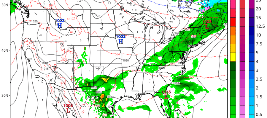
For the New Jersey shore we perhaps another 2 high tide cycles with Coastal Flood Warnings to work through before the pressure gradient relaxes and the winds and seas slowly begin to drop off over the next several days. In the mean time dry air in Northern New England is working its way southward and there should be a few breaks of sunshine at some point today with temperatures back to the upper 50s to lower 60s. Tonight clouds should give way to breaks of clearing with temperatures in the mid 40s to low 50s. The week ahead doesn’t look too complicated as the atmosphere calms down a bit. Each day will be no worse than partly sunny with highs in the upper 60s and lower 70s. Nights will be no worse than clear skies with a few patchy clouds with temperatures in the 40s and 50s.
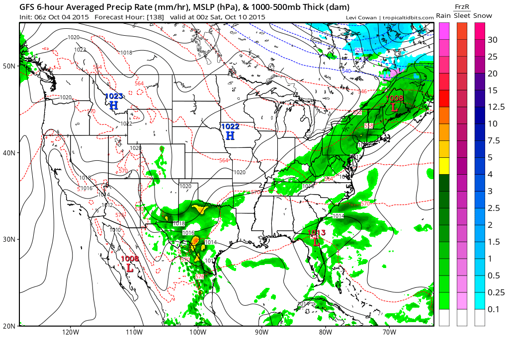
The next cold front is not due until Friday and there could be showers with that. Afterwards next weekend looks rather quiet and calm. The upper air pattern appears to be in transition as indicated last night on Joestradamus’s latest scribe on the long range. Models are trying to figure out a few things but the general sense I get is that the pattern we saw throughout the month of September is probably done.
Hurricane Joaquin is lashing Bermuda today and will pass close to the islands later this afternoon and evening. The hurricane is weakening a bit but it is still a category 3 hurricane with top winds of 115 mph. More on Joaquin on the tropical weather page.
Be sure to download my app and subscribe to my forecasts so that you can have my latest specific forecasts for New York, New Jersey, Connecticut and Eastern Pennsylvania. Subscribe for your zone for just 99 cents a month. Forecasts updated at least twice a day! The app is free from web advertising and there are no security or tracking issues.


