Bitter Cold Temperatures Continue All Week &
Watching For East Coast Storm Development Weekend
We have bottomed in the single digits and teens this morning with tons of snow cover. Arctic air covers all of the US east of Rockies today and for the next few days and more arctic air is on the way. The old storm from the weekend is long gone to the northeast and it is holding all the cold air place. We will see sunshine today with some passing clouds. Another Arctic front approaches and that will simply re-enforce what we have. Temperatures this afternoon will only be in the upper teens and lower 20s.
SATELLITE WITH LIGHTNING STRIKES
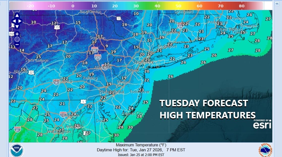
WEATHER RADAR
Radars aren’t showing very much an we are not expecting much to happen as the new arctic boundary heads to the east. Skies tonight should be mostly clear and it is poised to be bitter cold with morning lows inland in the single digits. Coastal locations and warmer urban center will bottom near 10 above plus or minus a degree or two.
Wednesday we expect it to be partly to mostly sunny and very cold with highs in the teens to around 20. Then we head back down to the single digits in most places and inland spots will be below zero. Thursday we will continue to see ineffective sunshine and high temperatures once again will be in the teens to near 20.
There is no rest for weary forecasters still recovering from the weekend snow and ice storm. This time around we are deep into the Arctic air and that will be setting up the development of a new storm, This time the low develops off the Southeast US coast. There is an upstream system that acts as a “kicker” and punts this storm northeast and offshore. This is potentially bring big snows to the coastal Mid and South Atlantic states but an offshore track will mean only a brushing of snow possible for Coastal New Jersey and Long Island for Saturday into Sunday. This is probably the most likely outcome that the low is offshore however looking back on the last storm, the upper air pattern changed considerably inside the 5 days prior to the weekend so we are on alert for possible shifts and changes in the upper air structure. For now Friday is fine with no issues and Saturday looks to be sunshine giving way to arriving clouds. We will mention a chance there could be some snow along the coast Sunday but we are cautious on making any deeper commitment until the outlook becomes clearer over the next several days.
BE SURE TO DOWNLOAD THE FREE METEOROLOGIST JOE CIOFFI WEATHER APP &
ANGRY BEN’S FREE WEATHER APP “THE ANGRY WEATHERMAN!
MANY THANKS TO TROPICAL TIDBITS FOR THE USE OF MAPS
Please note that with regards to any severe weather, tropical storms, or hurricanes, should a storm be threatening, please consult your local National Weather Service office or your local government officials about what action you should be taking to protect life and property.